Isolation Photo Project, Day 5: Sourlands Ecosystem Preserve

Last night I had to ask my wife what day of the week it was. I'm losing track of time as each day blends into the other. Regarding Jeff's isolation project, I'm not sure what day this is1, and I'm not strictly following the rules2, but I want to continue using the project as a distraction. Having something to look forward to is helping with my anxiety. I've also decided to write these posts as the day goes along instead of waiting to the end of the day.

The alarm clock sounded off at the usual 6 AM, and I woke up to take my Synthroid3 then went back to bed and slept for another half hour. I'm using the fact that I don't have to commute to get just a bit more sleep every day, which is helpful considering that I'm going to bed late.

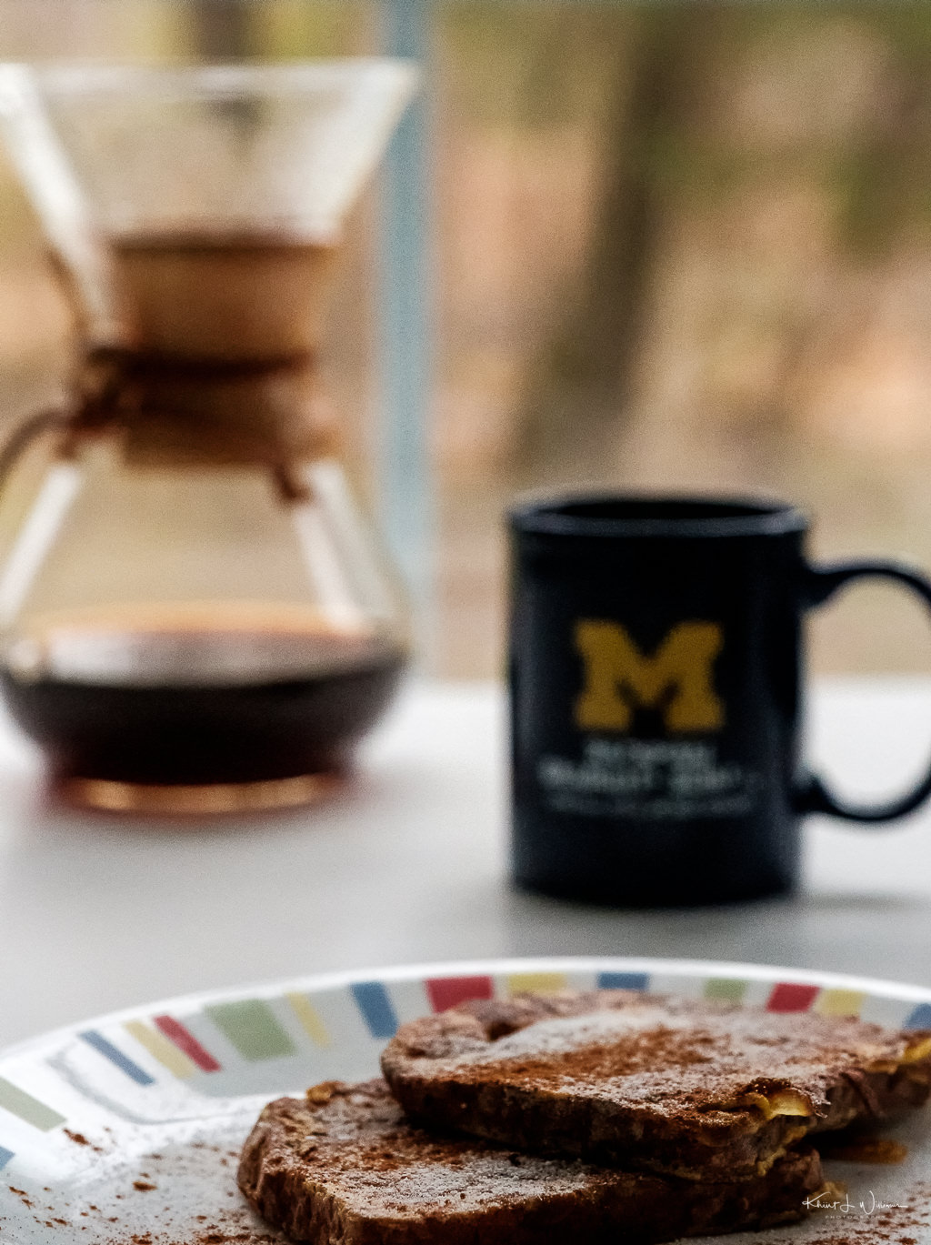
I have a regular rotation of breakfast foods which includes either yoghurt (Siggi's is my favourite brand), bagel thins, lox (smoked salmon) and cream cheese, or homemade sausage, egg and cheese biscuit, or oatmeal made in the InstaPot. All of these meals are around 30g of carbohydrates, usually less. I find that my blood glucose stays in range more often if I limit my carbs per meal to about 30g.

This morning I wanted to try something different, and for some reason, French toast popped into my head. I thought it would be easy to make, but I searched a recipe for a recipe anyway. To keep the carbohydrates to under 30g, I sprinkled Monk Fruit in the Raw instead of powdered sugar and skipped the maple syrup.

D&R Canal State Park Trail | 27 March, 2020 | FujiFilm X-T2 | Fujinon XF16-55mmF2.8 R LM WR

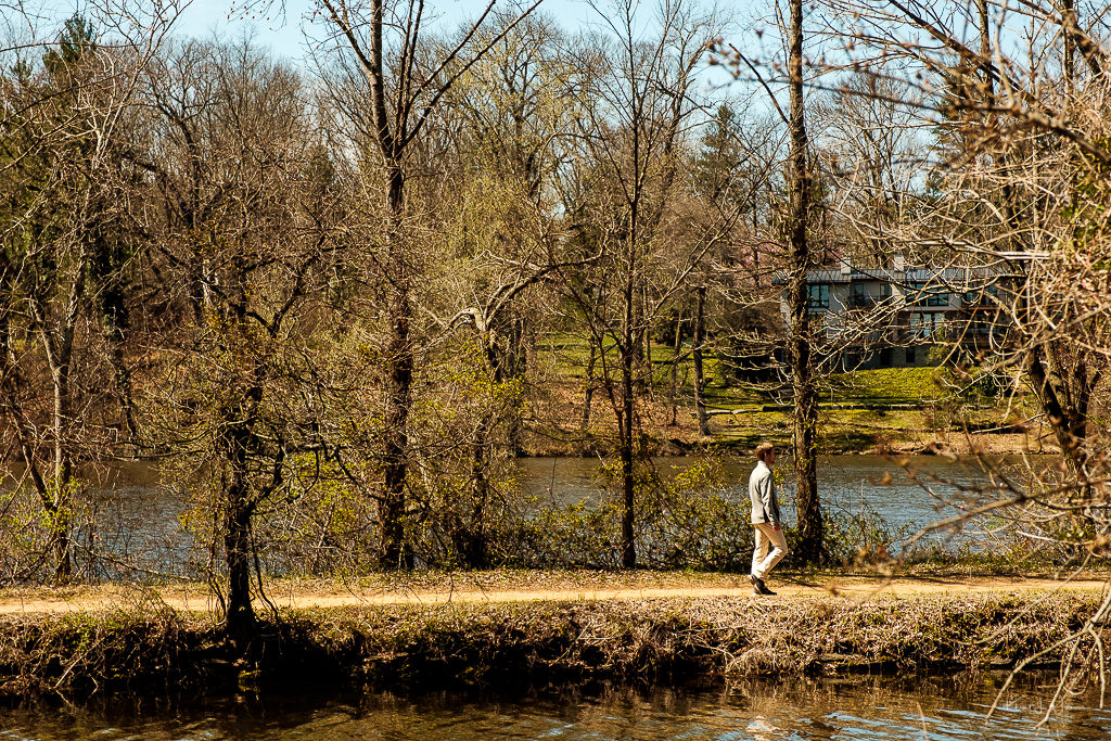
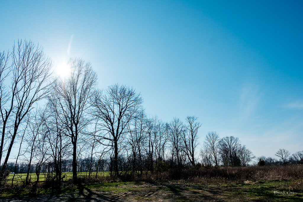
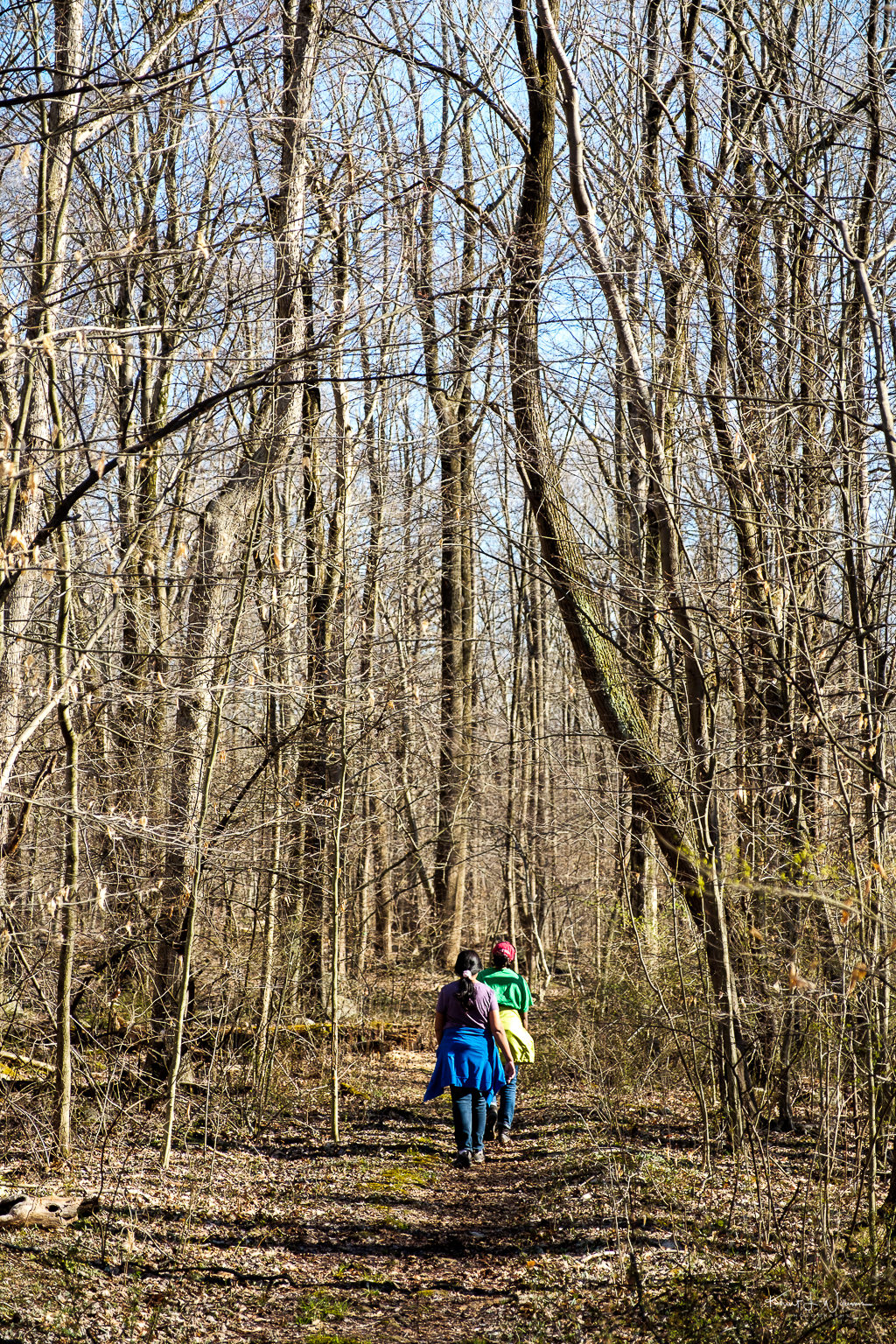
I had my regular endocrinology appointment today. Every six to eight weeks, I do a fasting blood test which the endocrinologist reviews and we discuss and adjust any items to improve diabetes care management. My A1C is down, but I still need to lose some of the weight I gained from the steroids. She wants me to try afrezza. On the drive back home, I stopped on Middleton Road in Plainsboro to capture this photo of people walking along the D&R Canal State Park Trail.

Once I was home, I noticed a group text message started by my friend Angel. We haven't had our regular weekly evening beer at the Brick Farm Tavern. She suggested that we do a virtual drinking session. We kicked around some times and agreed on 7 PM.

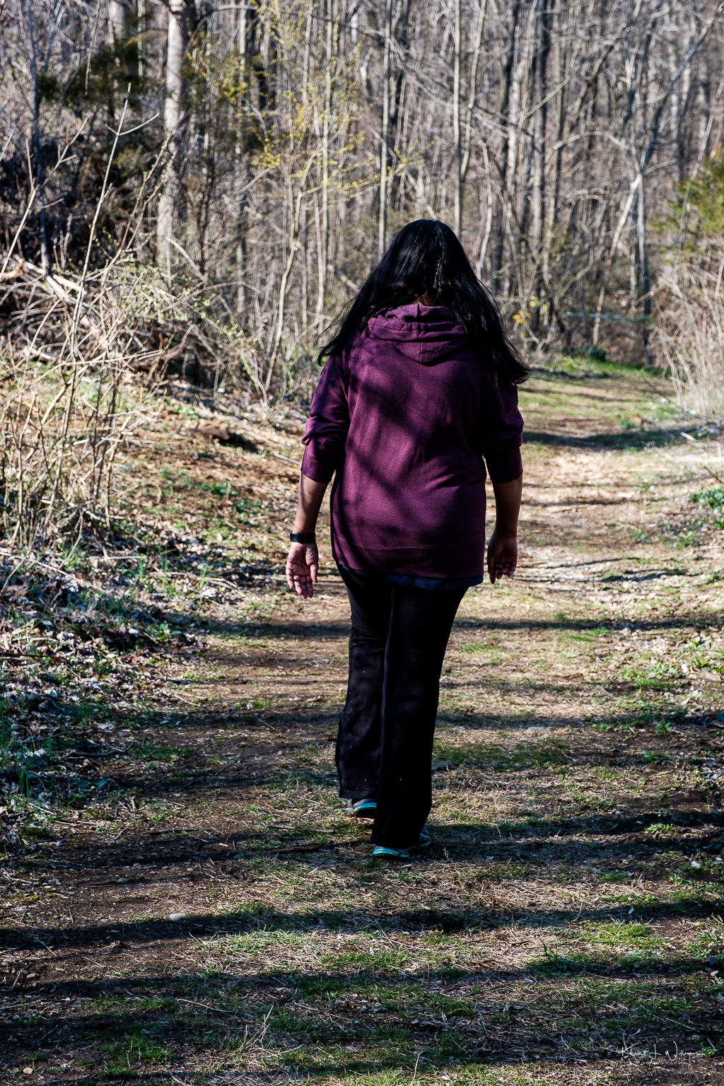
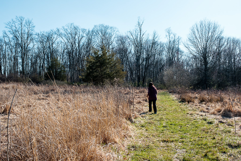
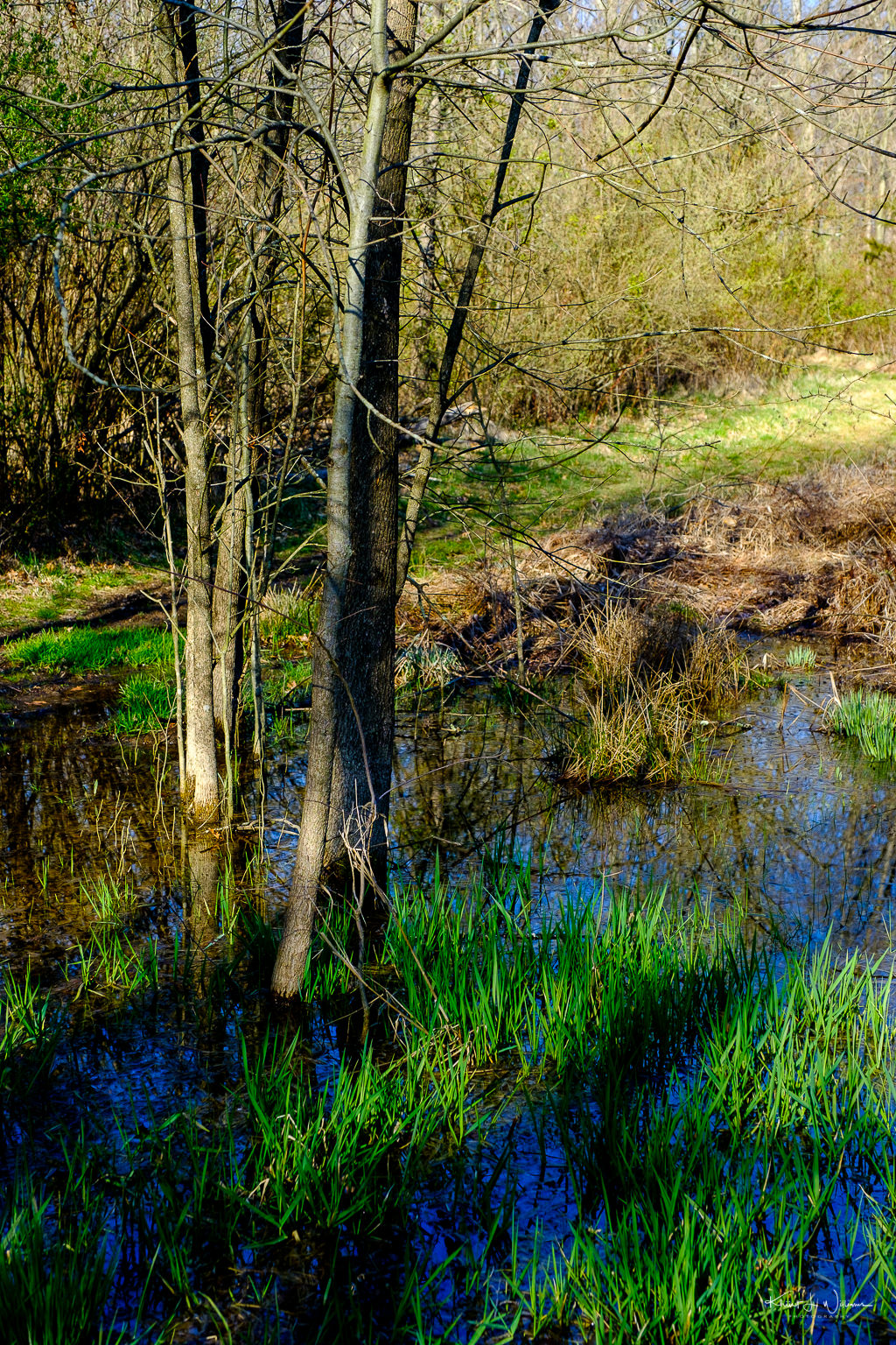
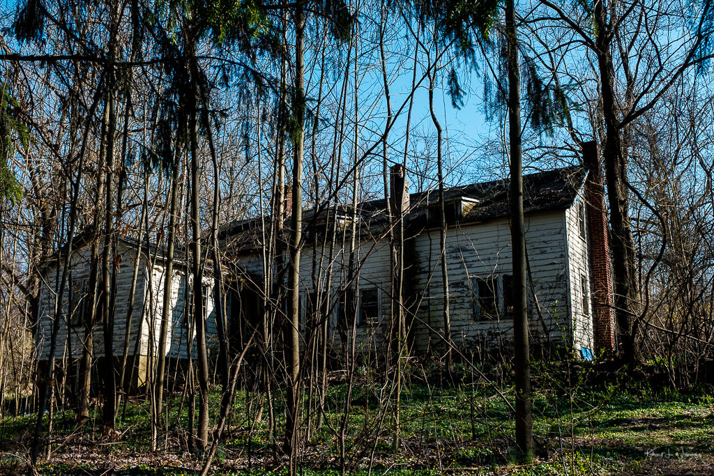
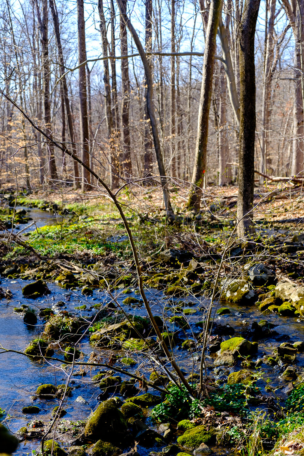
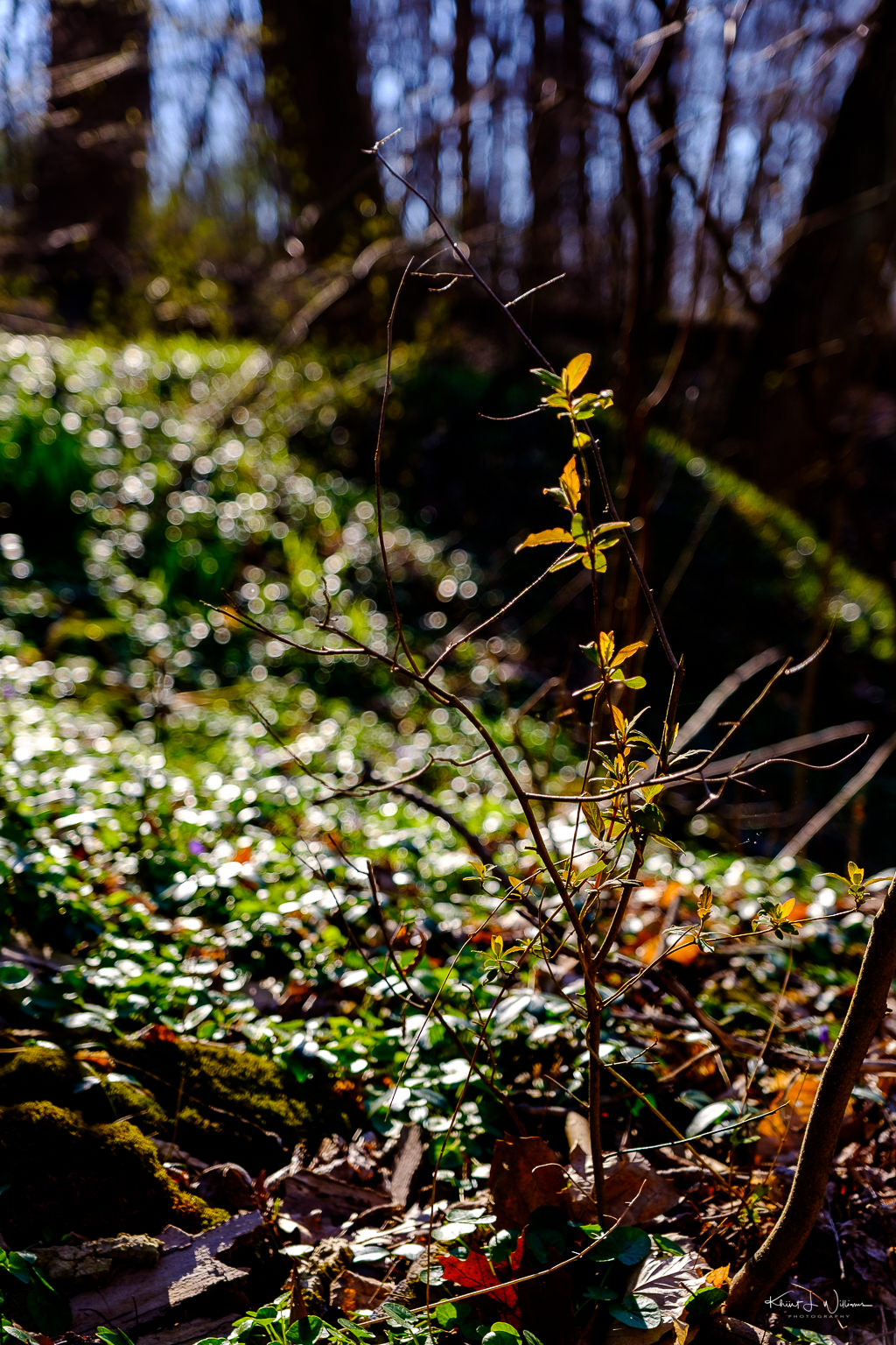
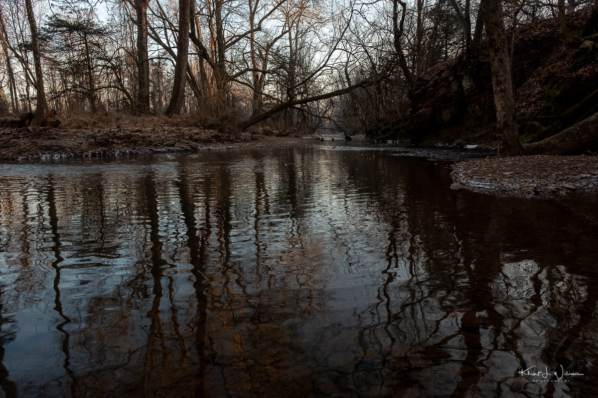
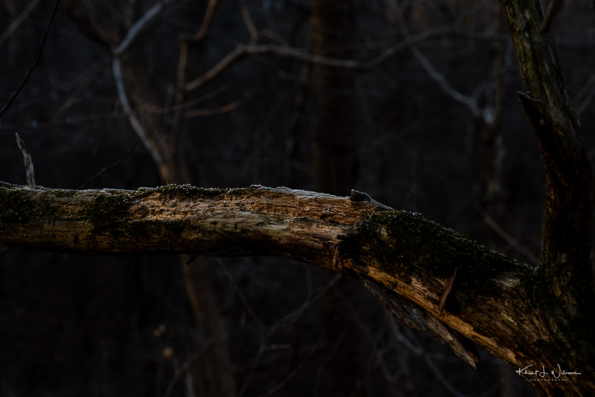
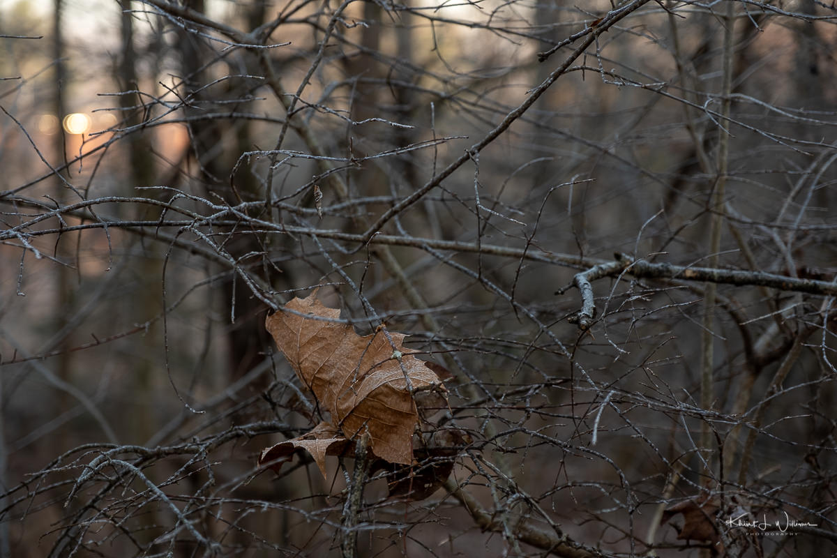
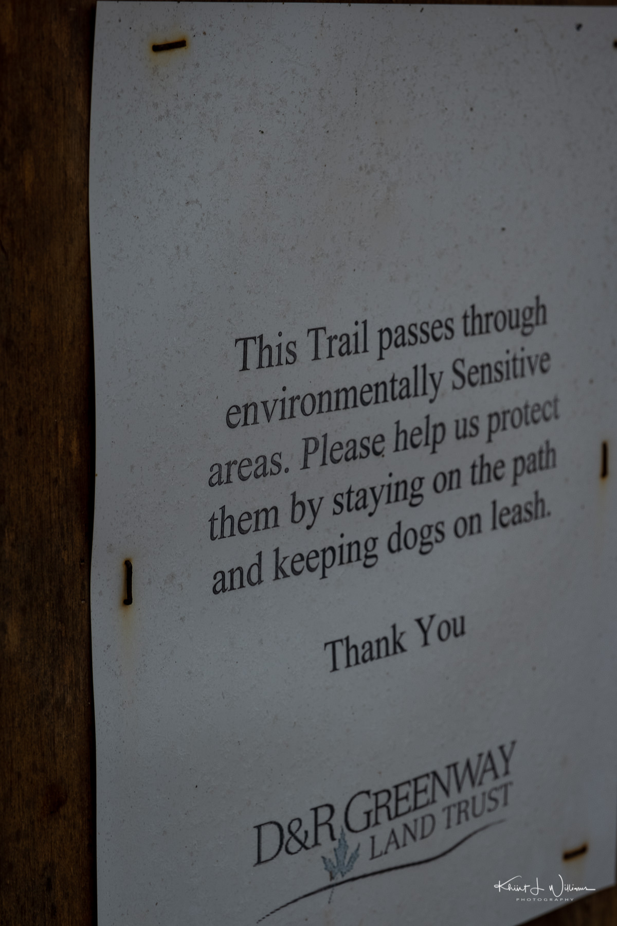
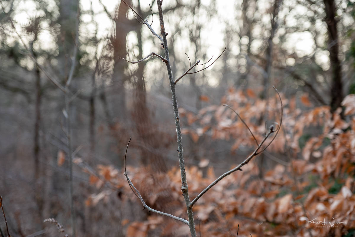
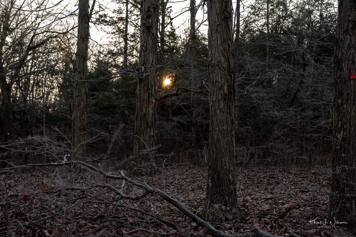
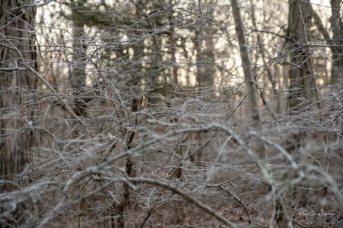
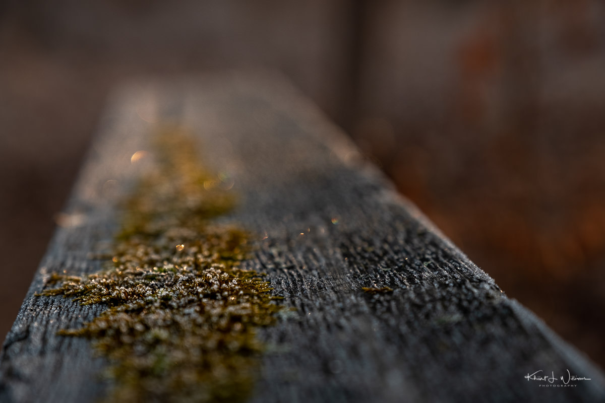
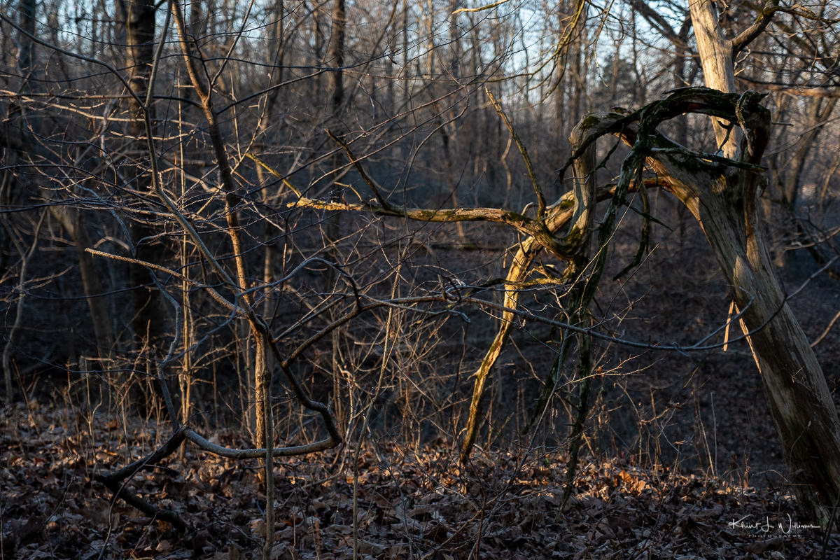
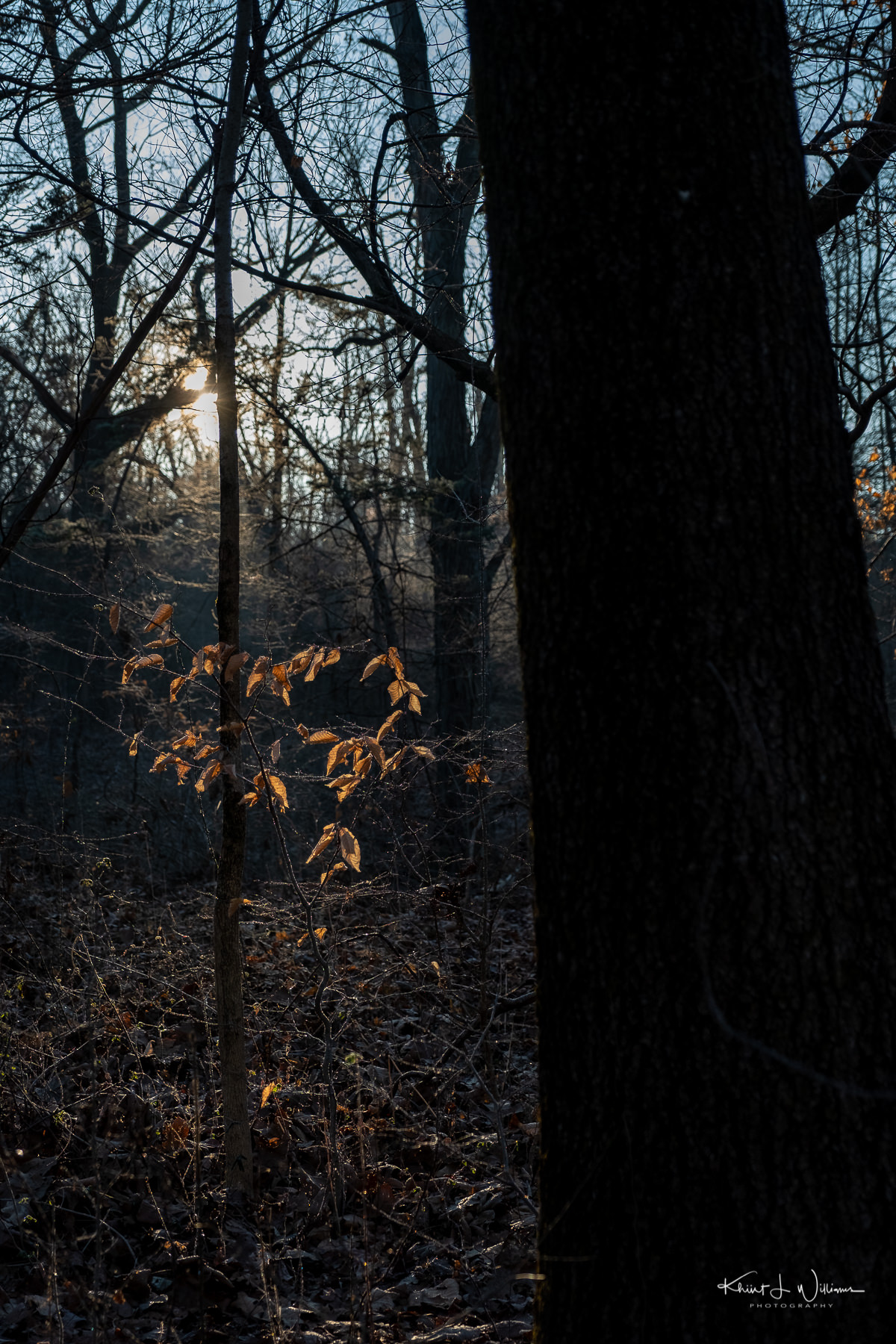
Bhavna came home around 2:30 PM, and we decided to enjoy the warm and sunny weather with a hike in the Sourlands Ecosystem Preserve in Hopewell. It had been a while since we had hiked the trail and we got turned around on the path a few times. Kiran remembered that when she was a child, we had attended a session with Sourland Stewards during which she had learned about vernal pools and the amphibians of the Sourlands.

Sourland Ecosystem Preserve | 27 March, 2020 | FujiFilm X-T2 | Fujinon XF16-55mmF2.8 R LM WR
Mud, rocks, and wood planks | 27 March, 2020 | FujiFilm X-T2 | Fujinon XF16-55mmF2.8 R LM WR

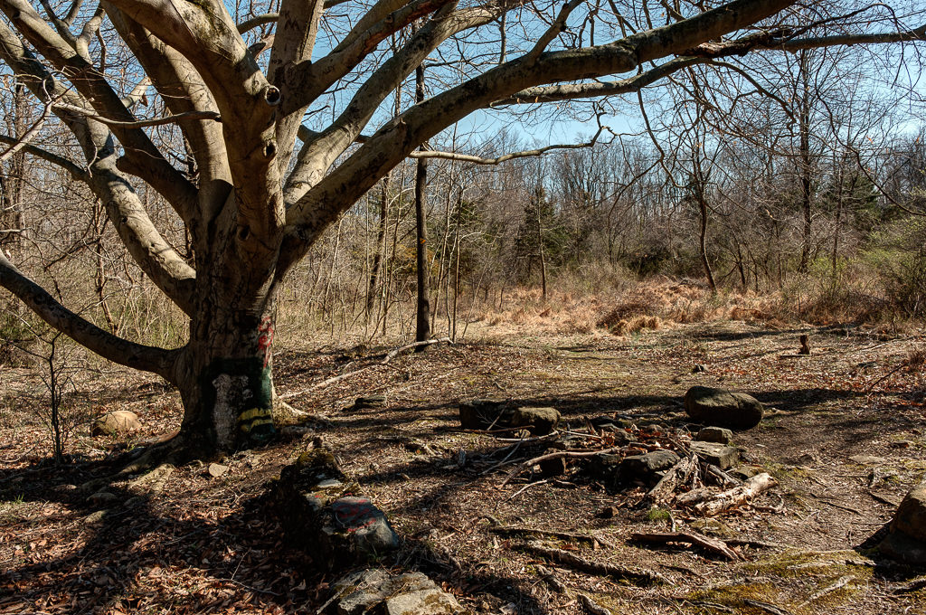
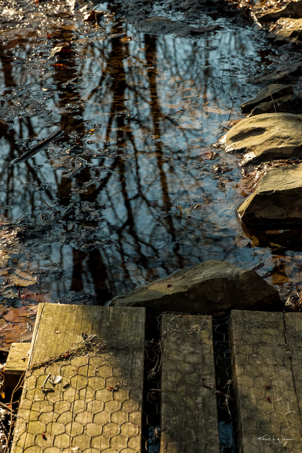
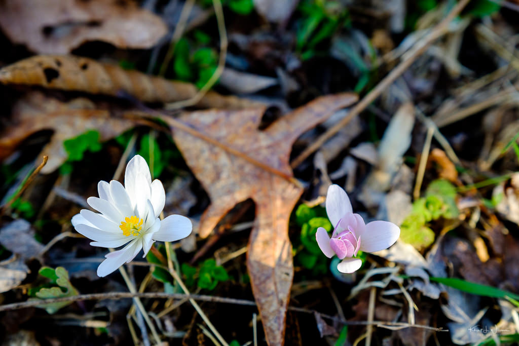
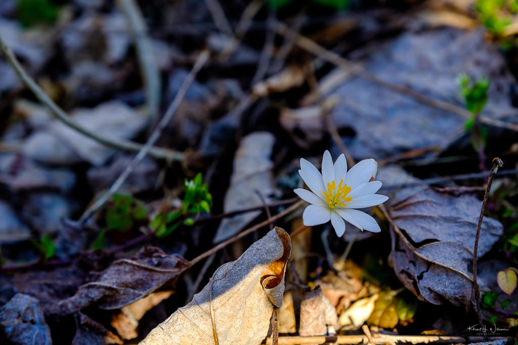
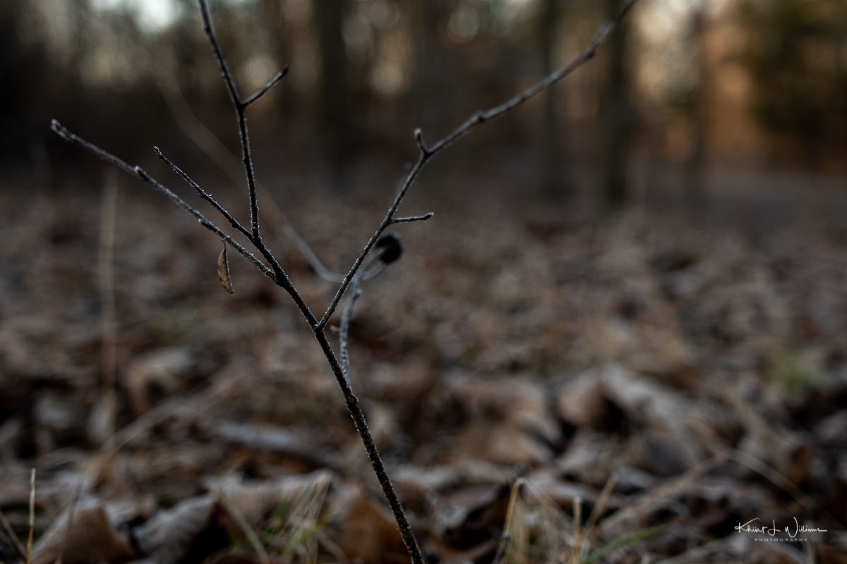
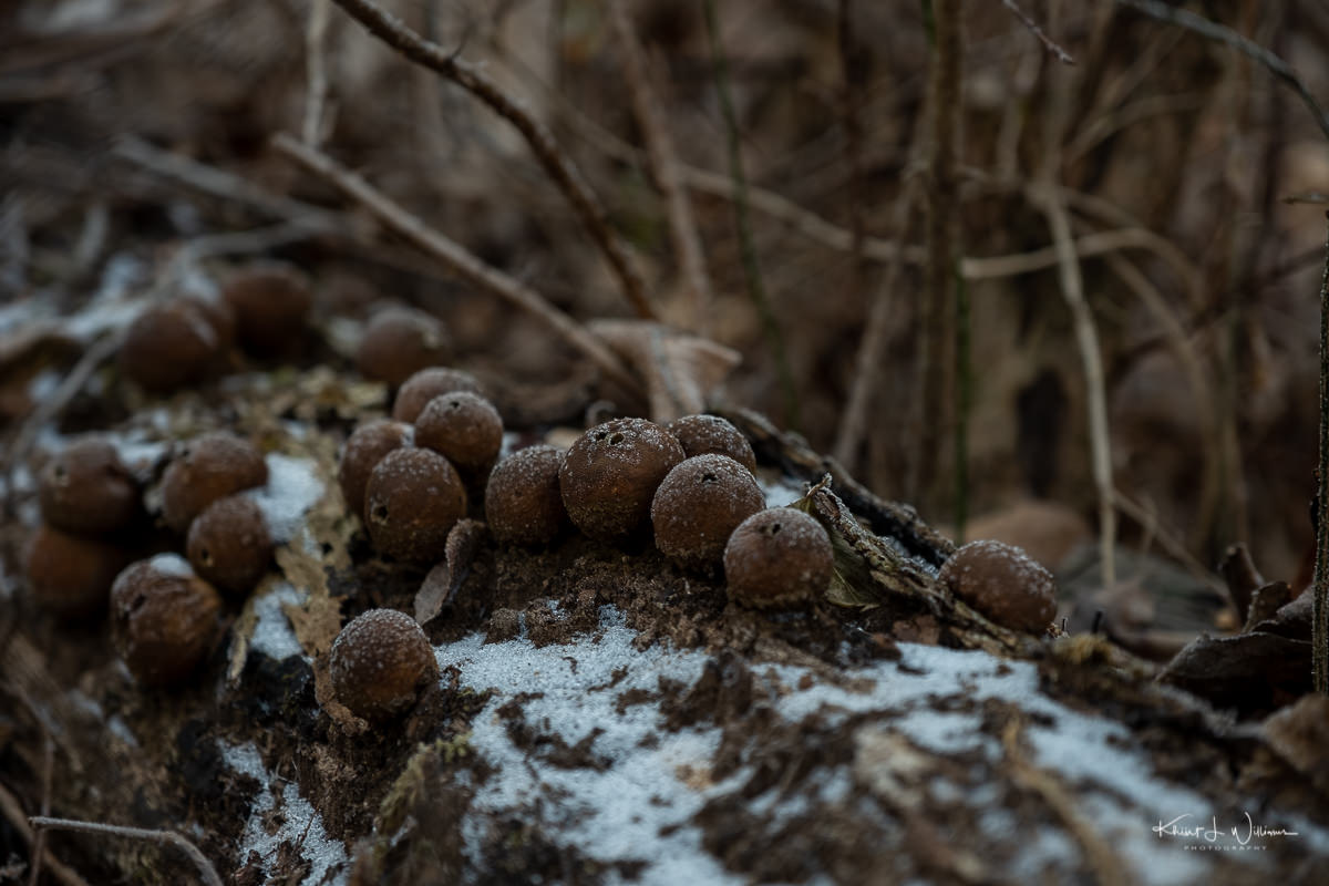
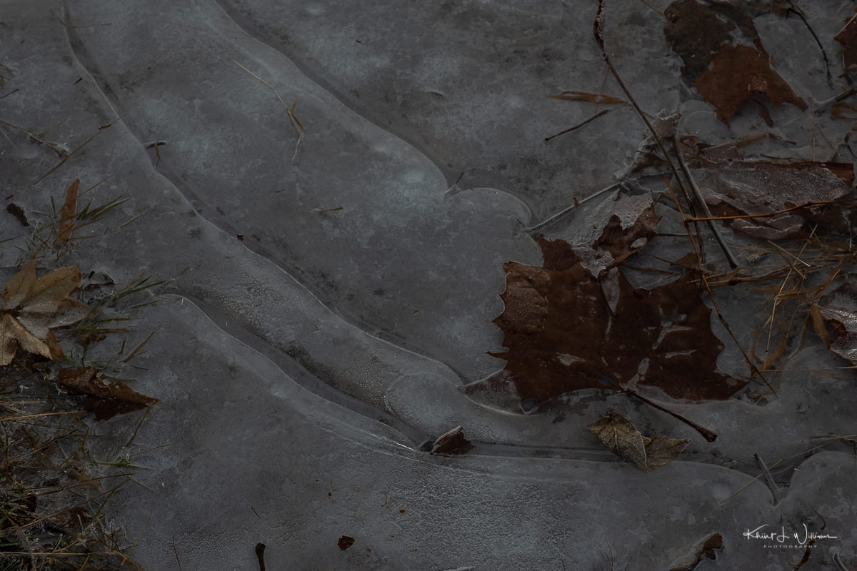
The trail was even more wet and soggy than the Pryde’s Point-Alexauken Creek Trail that Bhavana, and I hiked earlier in the week. I didn't find many flowers, but I did find the early leaves of Trout Lily. I want to return to this area next week. I am still on a hunt for round-lobed Hepatica, the most beautiful flower I have seen in the Sourlands.

27 March, 2020 | FujiFilm X-T2 | Fujinon XF16-55mmF2.8 R LM WR

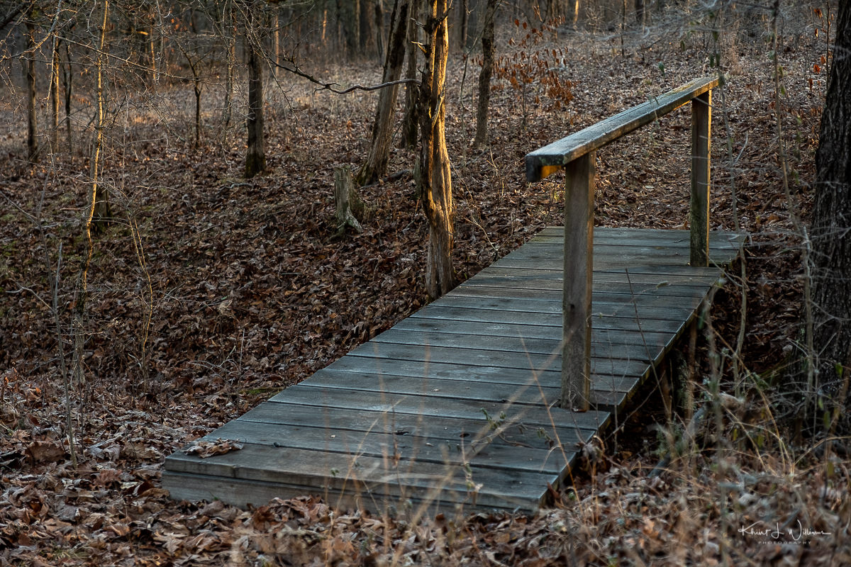
We kept misreading the hiking trail signs and had to double back a few times to find the yellow trail around back to the car. We hiked for about an hour and were exhausted by the end of the hike. My favourite bar and restaurant, The Brick Farm Tavern, re-opened offering a limited selection menu for pickup only. Bhavana called ahead and ordered the Wood Grilled Double Brook Bratwurst.

Beepeeper by Flounder Brewing Co. | 27 March, 2020 | FujiFilm X-T2 | Fujinon XF16-55mmF2.8 R LM WR

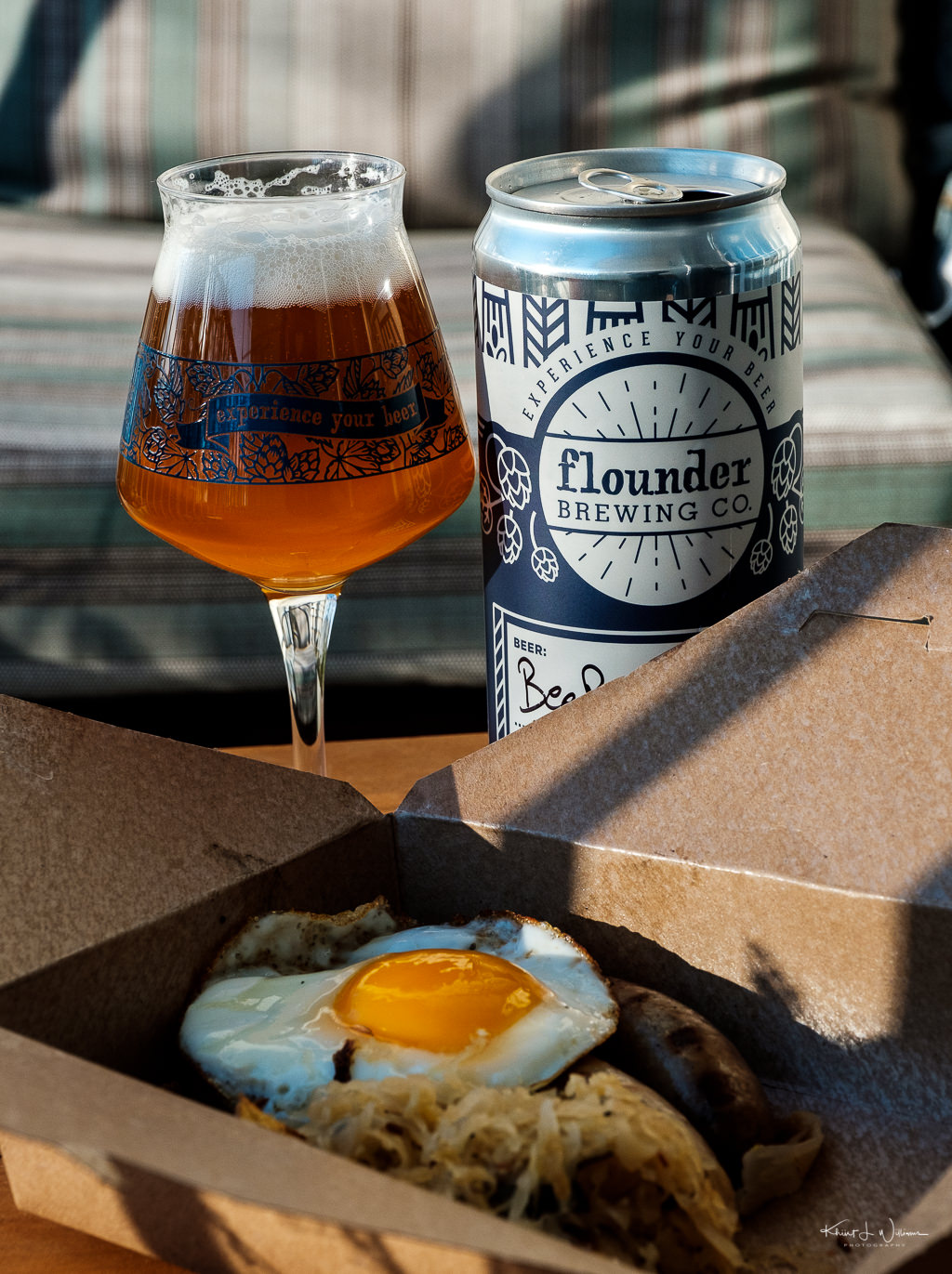
We made it home just in time for me to get a quick shower, pour a teku glass with Beepeeper craft ale from Flounder Brewing, and sit to eat dinner, while on the Zoom session with my friends.

Submitted as part of the 100DaysToOffload project.
Sourland Ecosystem Preserve Trail Map

  1. I think it's day 5. 
  2. Jeff had mentioned photographing around the house and the back yard or the surrounding woods. I'm going much further afield while still maintaining physical distancing recommendations. 
  3. Synthroid must be taken on an empty stomach a minimum of thirty minutes before eating. 

Pryde's Point-Alexauken Creek Trail

The weather was gorgeous today. I wanted to take my camera and head into the woods, but I finished my work and waited for Bhavna to come home. She saw I was excited and agreed to go with me to Pryde's Point-Alexauken Creek Trail. We'd never been to this trail in West Amwell Township before, but it was only twenty minutes from our home. Our friends live in Lambertville, across the bridge from New Hope, Pennsylvania. I'm not an expert with a map, but Pryde's Point-Alexauken Creek Trail is on the eastern side of Lambertville near the township line with West Amwell Township.

Lambertville Township is located on the Delaware River in the southwestern portion of Hunterdon County. During the 18th century, the area was named after various operators of ferries across the river to Pennsylvania. The ferries established the western terminus of the New Jersey portion of the road connecting New York City and Philadelphia. In 1810 when the post office was established, the town was named Lambertville in honour of John Lambert, a resident who had served as United States Senator and Acting Governor of New Jersey.

The Delaware and Raritan Canal figure prominently in Lamberville's history. During the construction, an epidemic of cholera broke out in 1832. Of the thousands of Irish immigrant men hired to dig the canal with pick and shovel, dozens of were buried along the banks of the canal and the Delaware River.

Bhavna | 26 March, 2020 | FujiFilm X-T2 | Fujinon XF16-55mmF2.8 R LM WR | f/6.4

We pulled into the Rocktown Road Entrance of the Pryde's Point-Alexauken Creek Trail and parked in a dirt patch near the trailhead, and walked along the very muddy trail along a grassy field, the edge of a fenced area next to a farm. The path led into a wooded area with twists and turned toward an area with several different trails intersecting. We shrugged our shoulders and set right on another trail along another grassy area toward another intersecting path which went downhill.

26 March, 2020 | FujiFilm X-T2 | Fujinon XF16-55mmF2.8 R LM WR | f/7.1

We walked and talked and talked some more. Bhavna is concerned about my anxiety. She knows that I do not like the indefinite nature of the "shelter-at-home" order. She knows how much I suffered last year with my health and my father's death. She knows how much I looked forward to getting out and living. We both agreed that suspending my Facebook account was a good move. She's worried about the kids, too, especially our youngest, who had significant challenges last year.

The trail was muddy. | 26 March, 2020 | FujiFilm X-T2 | Fujinon XF16-55mmF2.8 R LM WR | f/2.8

We came upon a clump of trees flooded with water and heard a bullfrog call out. We looked for the frog but could not locate him. He must have been spooked because he stopped making noises. We paused and looked for another five minutes before moving along.

Somewhere in here is a bullfrog. | 26 March, 2020 | FujiFilm X-T2 | Fujinon XF16-55mmF2.8 R LM WR | f/4.0

At this point, Bhavna, who was further ahead due to stopping to take photographs, called out that she had found some pretty white flowers. Yes! She had found a patch of bloodroot. So many specimens were growing in the dry leaves under the brush. I was so excited and got down on my knees to take photos. I suddenly realised how much I wanted a macro lens.

Bloodroot (Sanguinaria canadensis) | 26 March, 2020 | FujiFilm X-T2 | Fujinon XF16-55mmF2.8 R LM WR | f/4.0

Bloodroot is a plant native to the eastern part of the United States and Canada. The plant is called a bloodroot because when cut the root and budding rootstalk, the rhizome secretes a red fluid. I didn't experience this and refused to pick up or damage the plant. I want to encourage the growth and spread of native plants.

Bhavna has hiking boots but opted to wear her sneakers. She was annoyed that her sneakers were muddy and water had seeped into her shoes and socks. She wanted to turn back, but I convinced her to push just a little further until we came upon an abandoned house overrun with trees. Bhavna thought it was occupied and considered that maybe we were trespassing until I showed her the spooky-looking windows. I think we were on the Hedgerow Trail.

26 March, 2020 | FujiFilm X-T2 | Fujinon XF16-55mmF2.8 R LM WR | f/6.4

We continued past the house toward a small mossy stream where I stood for a moment, enjoying the calm. When I drive out to the Rock Brook, I often like to stand, sit, and listen to the water flowing over the rocks. I find it very relaxing.

mossy stream. | 26 March, 2020 | FujiFilm X-T2 | Fujinon XF16-55mmF2.8 R LM WR | f/2.8

But cognizant of the time and Bhavana's patience, I didn't stand for too long. We turned around and walked back the way we came. I am appreciative that we can have these trips. I know many city people may not have this natural daily respite from the COVID-19 restrictions. Hopefully, we get more sunny days. Bhavna told Shaan and Kiran about our walk, and they are excited to join us for the next one.

26 March, 2020 | FujiFilm X-T2 | Fujinon XF16-55mmF2.8 R LM WR | f/2.8

This is my fourth (or fifth) entry for Jeff's isolation project.

Submitted as part of the 100DaysToOffload project.

Pryde’s Point Trail Map

St. Michael's Preserve Aunt Molly Trail

On Saturday, I woke up, got dressed and drove to Aunt Chubby's in Hopewell for breakfast. Before my health challenges started, Aunt Molly was my favourite weekend treat, but I hadn't been there in several months. I packed my Fujifilm X-T2 + Fujinon XF16-55mmF2.8 R LM WR, iPad and Bluetooth headphones. Aunt Chubby is within walking distance from most of the homes in Hopewell. I wanted to get to Aunt Chubby's just as they opened to avoid the early morning local crowd, get a seat in the corner, and read blog posts while listening to music. I found parking right out front, which is rare, but now I know how to avoid the weekend breakfast crowd.

I found a table near the rear of the restaurant, and my attentive table attendant took my order, avocado toast with a poached egg on top and a cappuccino. The restaurant was mostly empty, with one man sitting at the breakfast bar and a few friends sitting in the other room.

During my commute last week, I caught up on listening to episodes of the FujiCast podcast, which I missed while going through my health challenges in the previous few months. The universe must be sending me a message because, on this particular FujiCast episode, Ian MacDonald was a guest talking about how photography helps him treat and overcome PTSD caused by years working in emergency medical services (EMS).

This got me thinking about how much I missed my form of stress reduction therapy, being outside [walking] around with my camera on the nature trails of the Sourlands. I finished eating, and while waiting for my check, I looked up as Jeff Hoagland walked in and sat at the breakfast counter.

Jeff Hoagland is a lifelong naturalist and the Education Director for the Watershed Institute. The institute is championing the environment of 950 acres of streams and woodlands in Hopewell Township. I met Jeff over a decade ago when I took my then elementary school children on an ambling nature walk along one of the streams in Montgomery Township. My kids had a blast; we took many more hikes with Jeff over the years. He's also a fan of American craft ales, and we often see each other in line during a crowler release at Troon Brewing.

Google Earth, Hopewell Township, St. Michael's Preserve
St. Michael's Farm Preserve

I closed my check and walked to the breakfast counter to say. Jeff and I chatted for a bit. He noticed the camera and suggested I try walking a section of the St. Michael's Preserve which is accessible from Aunt Molly Road. I have walked another part of the St. Michael's Preserve earlier this year and was happy for Jeff's recommendation of something new.

In the Borough of Hopewell, St. Michael's Preserve includes 396 acres of preserved land, mainly between Hopewell-Princeton Road and Aunt Molly Road, but a portion of the preserve lies on the east side of Aunt Molly Road and is preserved by the D&R Greenway Land Trust. This is the section that Jeff stated was his favourite section of the preserve trails.

In 2004, the Diocese of Trenton asked D&R Greenway to preserve the property for $11 million. Working with our state, county, and local partners, we secured $8 million in public funding—the remaining $3 million needed to be raised from private sources. Faced with the frightening prospect of unwanted development, in the summer of 2006, a group of concerned Hopewell residents stepped forward to raise the remaining funds required to preserve the St. Michael's Preserve land.

The St. Michael's Preserve property had been owned by the Diocese of Trenton since the 1890s when an orphanage and industrial school were built in 1896. The facility closed in 1973.

Aunt Molly Road is about a five-minute drive from Aunt Chubby. I parked, donned my headphones, and started streaming Pink Floyd's Dark Side of the Moon while I hiked along the icy trail, stopping to take photos of the woods and trail path with the changing morning light streaming through. I could hear the crunch of frozen dirt, grass, and ice underfoot.

A man with a dog approached from a fork in the path. I removed my headphones, said hello and commented about the cold. It was cold. I have not walked this trail before, so I had no specific plan for images. I listened to Dark Side of the Moon, stopping to photograph whatever light caught my eye. I stopped and stood to stare at the light, getting lost in my mind. Relaxing.

Despite gloves and thick socks, I got as far as the bridge before the cold air started to gnaw at my fingers and toes.

Aunt Molly Trail | 22 Dec, 2019 | FujiFilm X-T2 | XF16-55mmF2.8 R LM WR | © Khürt Williams