Isolation Photo Project, Day 83: Farmers’ Market and Sourland Ecosystem Preserve

This preserve has dense sections of plants and trees than most of the other trails we have hiked and appeared to be less well maintained.

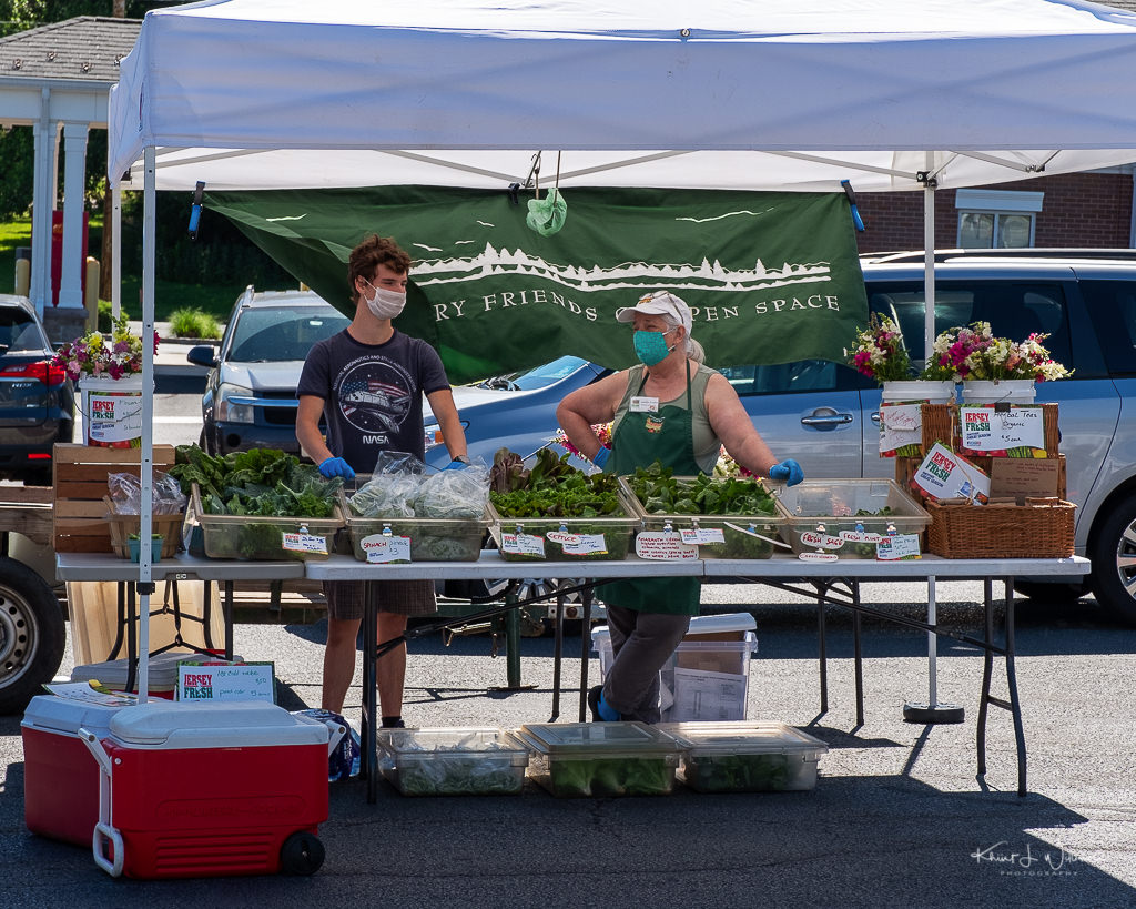
Last week, I missed the opening day of the Montgomery Friends Farmers' Market, but today I stopped in at the market. The Montgomery Friends Farmers' Market, a project of the Montgomery Friends of Open Space, is following the guidelines of the Rutgers Cooperative Extension and Montgomery Township Health Dept. The parking lot at the Village Shoppes at Montgomery was set up as one-way loop to enforce strict social distancing guidelines. All the vendors and volunteers wore protective face masks. The parking space limits the number of vendors, but it was great to see familiar faces.

Montgomery Friends Farmers' Market
Saturday 13 June, 2020 | Day 83 | FujiFilm X-T2 | XF16-55mmF2.8 R LM WR

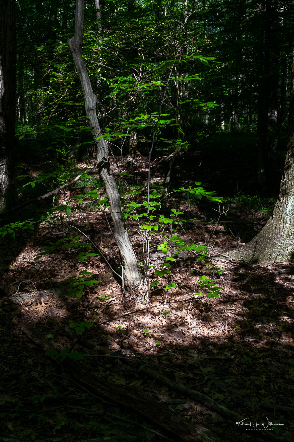
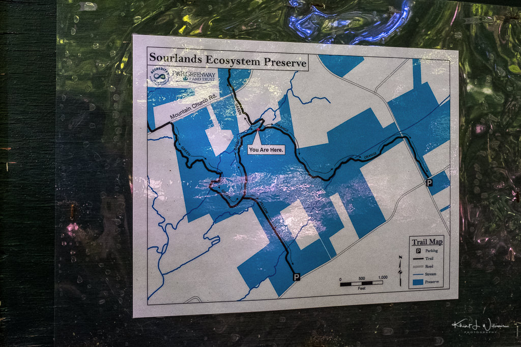
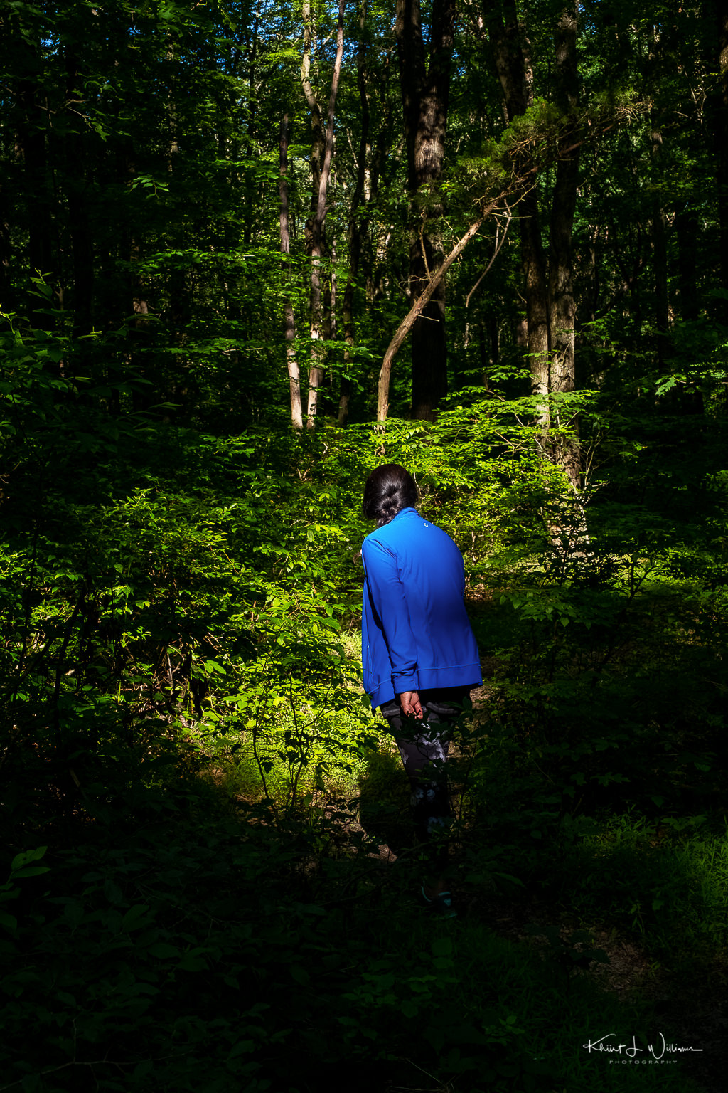
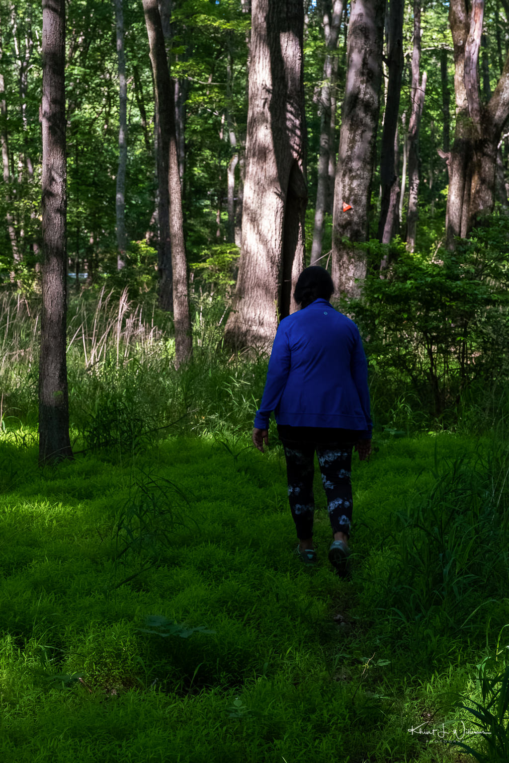
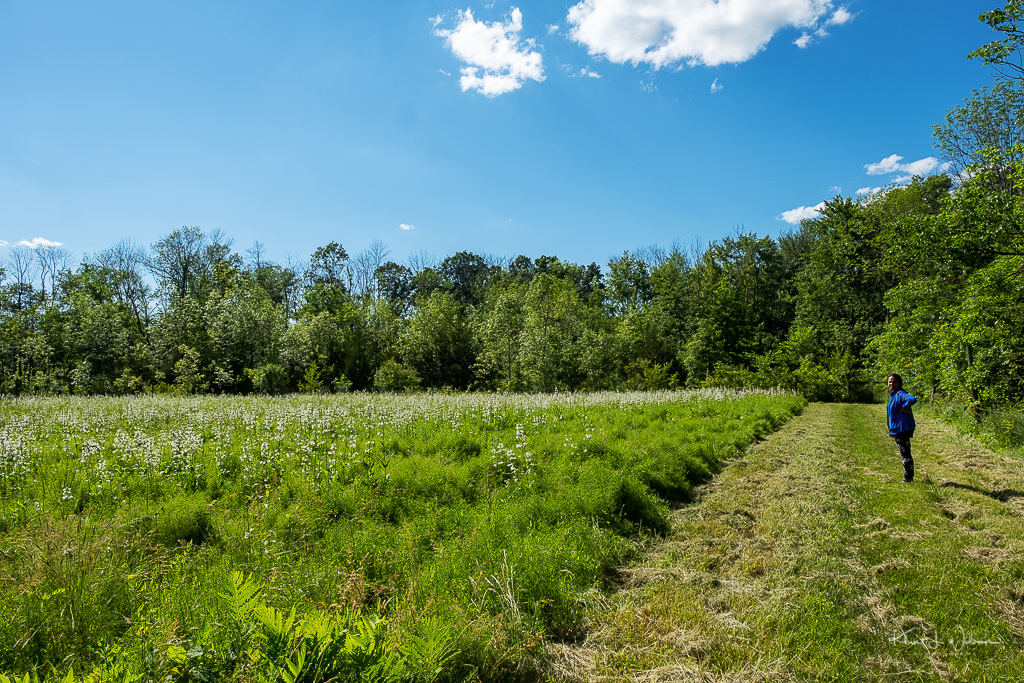
Later in the day, after I mentioned how much I needed it, Bhavna and I went for a hike in the Sourland Ecosystem Preserve in Hopewell.

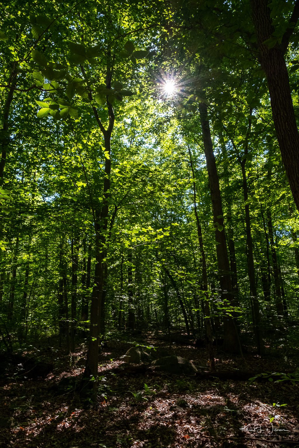
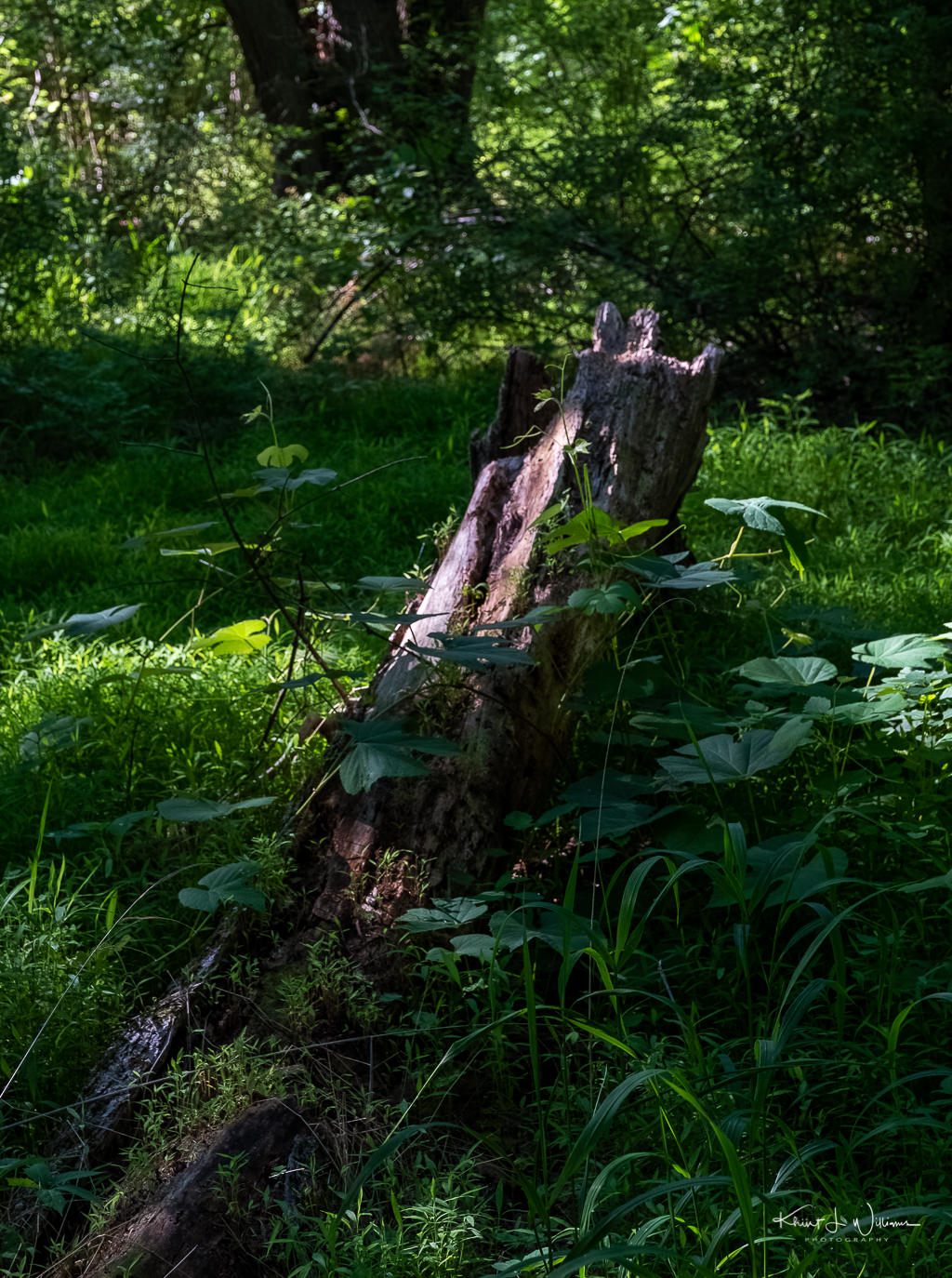
Spanning 60,000 acres, the Sourlands region is a reservoir of biodiversity in central New Jersey. D&R Greenway has already facilitated the preservation of more than 3,400 acres in the Sourlands and is a leading partner with state, county and municipal officials, and private landowners, to continue preservation of this region. More than 150 bird species have been recorded in the Sourland forests. Numerous species require the large, unfragmented tracts of closed-canopy forest that remain in the Sourlands in order to breed successfully.

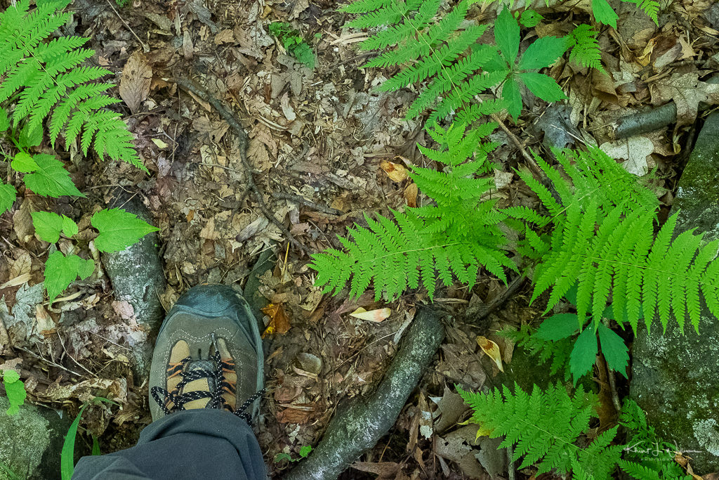
There were no other cars at the trailhead, which meant that we were not sharing our hiking space. This turned out to be a good thing. This preserve has dense sections of plants and trees than most of the other trails we have hiked and appeared to be less well maintained. The trail disappeared beneath our shoes several times during the hike. Thank goodness for the bright orange trail markers. This trail does not loop so Bhavna and I returned to the trailhead parking space via the local roads.

Saturday 13 June, 2020 | Day 83 | FujiFilm X-T2 | XF16-55mmF2.8 R LM WR
Submitted as part of the 100DaysToOffload project.

Stones

What is a stone?

It’s a unit of measure. The stone or stone weight is an English and imperial unit of mass now equal to 14 pounds (6.35029318 kg). My bodyweight (Earth) is approximately 11.4 stone.

Stone also refers to a solid aggregate of one or more minerals or mineraloids. Rocks are stones.

It may also refer — in the plural — to the assemblage of English musicians into a rock and roll band or the collection of pages and images into weekly periodically about music and popular culture. Was that a pun?

Stone silence on that question. Wait, that was a pun?

My town of Skillman in Montgomery Township lays at the base of the Sourland Mountain, a 27km long ridge extending from the Delaware River in Lambertville to the western end of Hillsborough Township, through Montgomery Township, and into Hopewell Township.

The Sourland Mountain and the area around it are full of hard igneous rock called diabase. The diabase is a highly erosion-resistant stone known as trap rock.

In the sixteen years that I have lived in Skillman, I have photographed many various sections of the Sourland Mountain, including my favourite spot, the Rock Brook. But there are other areas that I wanted to explore for this photo challenge.

Stones, Sourland Mountain Preserve

NIKON D5100 24mm f/4 ISO-5600 1/250sec Khürt L. Williams

On private property along Rileyville Road in East Amwell Township, Hunterdon County, a series of three large rocks sit on top of another boulder large enough to hold them. Legend claims that many years ago three brothers decided to meet the Devil, overcome him and rid the area of his presence once and for all. But, as it turned out, they were no match for the Evil One who surprised them, turning them into stone on the spot where we still see them sitting today at Three Brothers Rock.

The European’s who settled the area shared a penchant for naming areas after the Devil himself, for example, the boulder fields called Devil’s Featherbed and a collection of huge boulders along the hiking trails in the Sourland Mountain Preserve called Devil’s Half Acre.

Bhavna’s was tired of attending the Bruno Mars concert last night. I was hoping she’ll join me in hiking the eight-kilometre (~ 5 miles) Ridge Trail from the trailhead at Eastern Mountain Road in Hillsborough Township, along Maple Flats and up the boardwalks into Montgomery Township toward Roaring Rocks, then continue along the Roaring Brook trail over the Texas Eastern Pipeline toward Devil’s Half Acre before heading back down to the trailhead.

Instead, I contacted my friend Prasanna, who was happy to get out on a hike with me. We hike hikes for just over two hours. We didn't stick to the planned route. We skipped the outbound trail to Devil's Half-Acre and instead returned to the trailhead via the pipeline. It was just a bit too warm and humid for us. We were sweaty and sticky.

Stones, Sourland Mountain Preserve

NIKON D5100 24mm f/4 ISO-4000 1/250sec Khürt L. Williams

Created by photographer Frank Jansen, the Tuesday Photo Challenge is a weekly theme-based challenge for photographers of all kinds to share both new and old photography.

Sourland Ecosystem Preserve Trail Map