Tag: Somerset County
Stoutsburg Sourland African American Museum
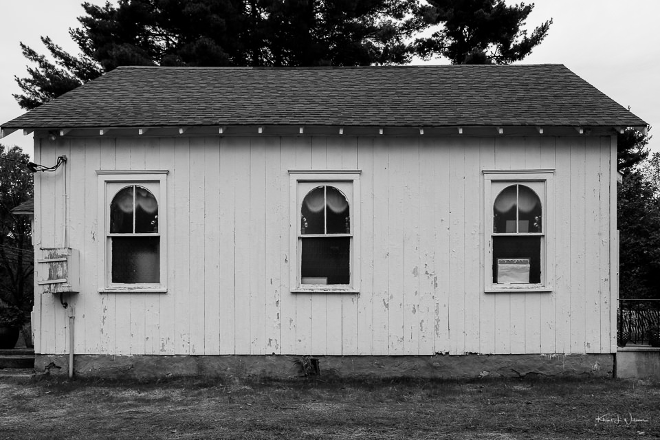
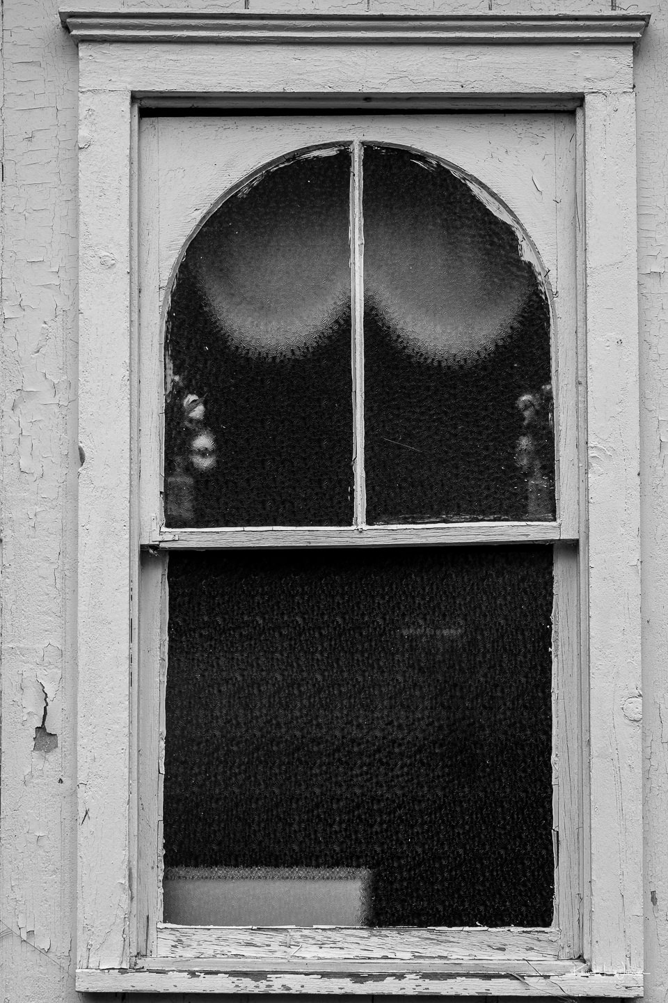
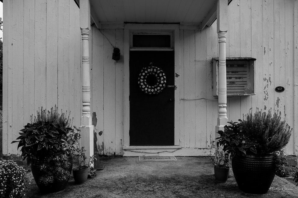
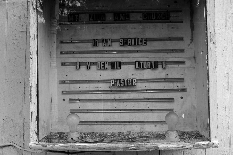
Two years ago, I drove around the lower half of Somerset County, the county in which I have lived for almost 25 years, photographing various historical buildings that were featured in the "Weekend Journey through the Past". One of the areas on the "tour" was the Stoutsburg Sourland African American Museum in Skillman, Montgomery Township, just a few miles from my home.
It was a rainy day when I visited, and the ground was soggy. Parking was challenging, but I found a spot on Hollow Road, a dozen yards so from the entrance to the property.
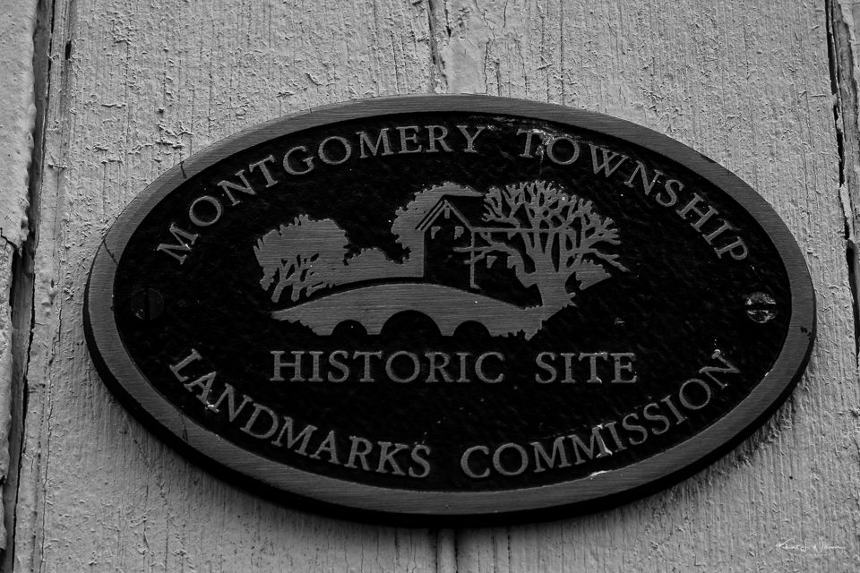
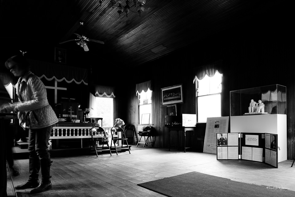
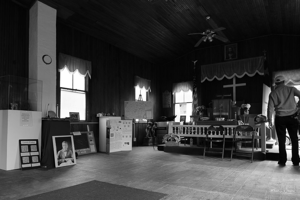
The church restoration project started with the efforts of two African American women, Beverly Mills and Elaine Buck, who sit on the advisory for the Stoutsburg Cemetery Association, to establish a burial place for Private William Stives, a Revolutionary War veteran and one of the first African American settlers in the Sourland Region.
Their research led them to discover that the region had a richer past regarding African Americans some of whom were their ancestors, and the two women decided to co-author a book, If These Stones Could Talk, to tell the stories of African Americans and their lives in Hopewell Valley (and surrounding area).
In 2014, after a lecture, entitled "A Proud Heritage", at the historic Hopewell Borough Train Station organised by The Sourland Conservancy as part of their Train Station Series, they sparked a partnership between the Stoutsburg Cemetery Association and the Sourland Conservancy. The product of that partnership was the Stoutsburg Sourland African American Museum. The land for the Stoutsburg Sourland African American Museum was acquired by The D&R Greenway Land Trust in collaboration with the Sourland Conservancy.
These photos have sat in my Adobe Lightroom Catalog for the last two year, unedited, unprocessed, simply because I was too tired to process them. I was dealing with Graves Disease and after a day of driving around the county taking photographs and I had very little energy the next day. I had forgotten about the pictures until now.

Hiking Buttermilk Falls in Washington Valley Park
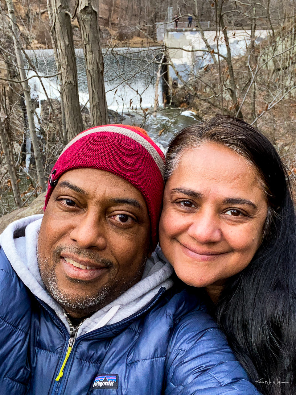
It rained Friday evening, and all of Saturday and many of the local roads and bridges were underwater. I was bored and feeling anxious about being cooped up inside the house all weekend. Sunday after the cloud parted and the sun radiation some rays of warmth. When Bhavna woke up, I suggested we make the best of the day and go out for a hike. She expected that the trails would be muddy and reluctantly agreed to come with me if I first took her car to the car wash.
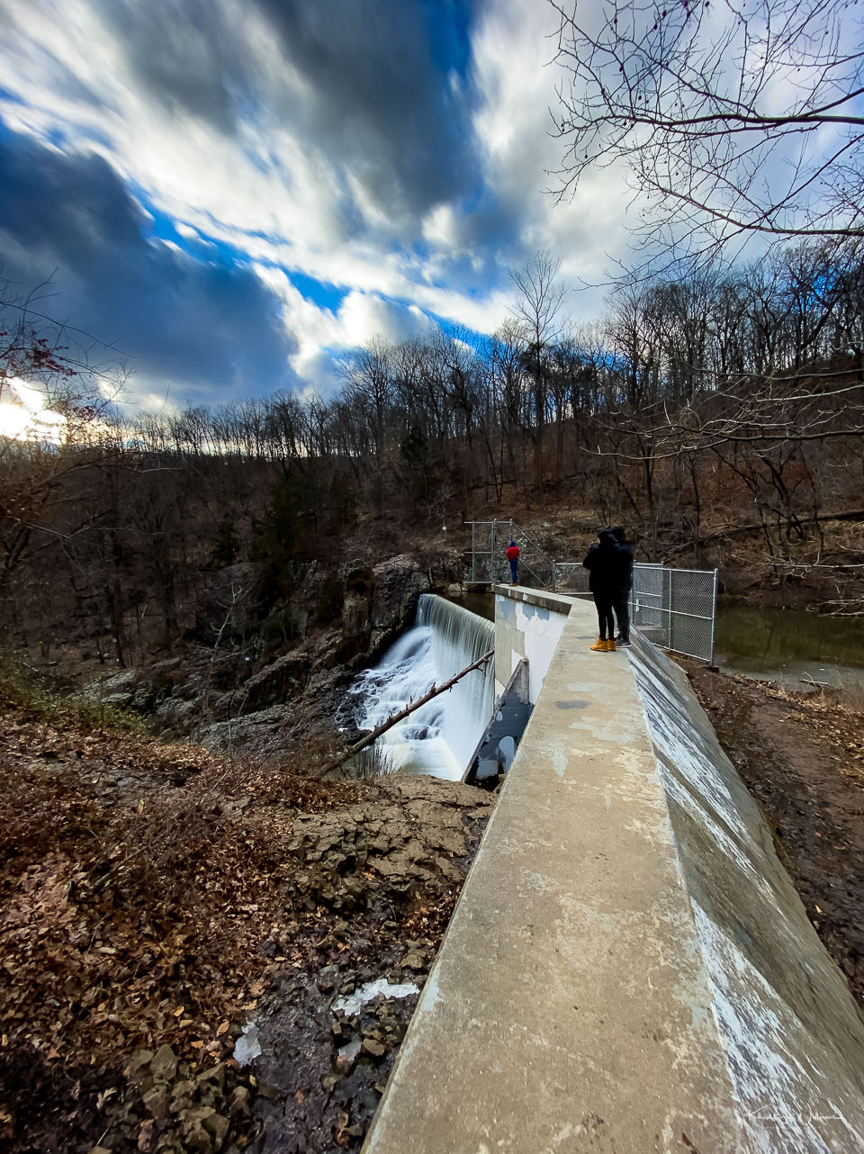
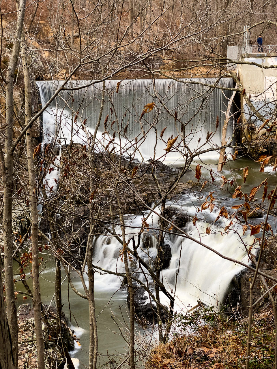
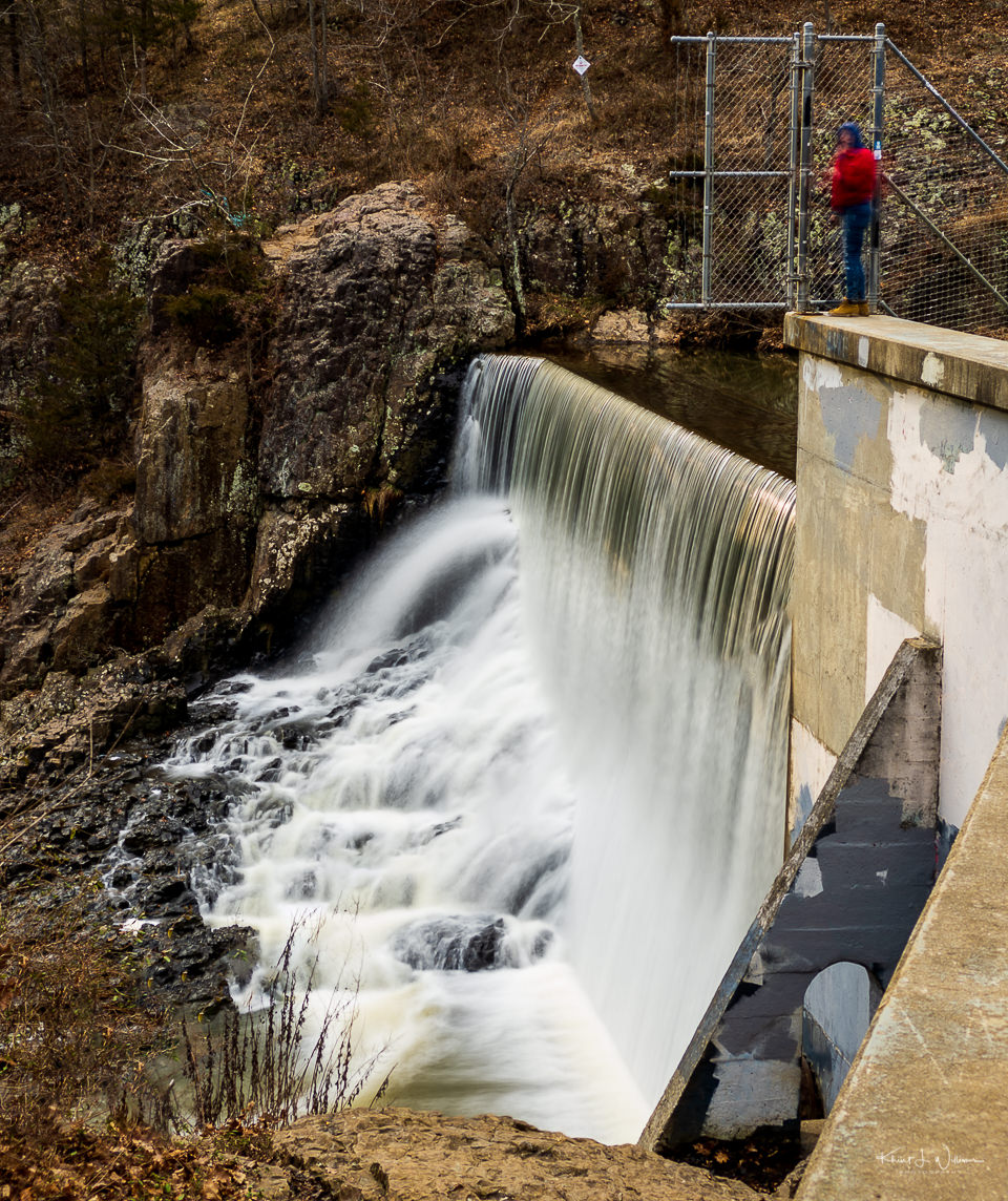
I learned about Buttermilk Falls from a link shared by NJ Spots. Located in Washington Valley Park, The “falls” are humanmade with the overflow from a damn pouring onto the rocks below. I did not know this before we set off on our adventure. Buttermilk Falls must be a popular name for waterfalls in the USA. I have visited Buttermilk Falls in Ithaca, New York, Buttermilk Falls in the Delaware Water Gap near Stokes State Forest, New Jersey .
We had some challenges finding the proper path to the waterfall. The information provided by NJ Spots is incomplete, with no information on where to park or which trail would help us approach the falls from the right direction. I parked in Chimney Rock Park near the football field, and Bhavna and I scrolled through Google Maps looking for an access point to the falls. We saw a few trails on the map and noticed a marked parking spot on Gilbride Road. A few minutes later, we were parked and took the first trail we found, which after a few minutes of slipping and sliding in the mud, we realized was the wrong trail. Back out to Gilbride Road, and we found a new trailhead. We knew we were on the right path since we met and asked a couple of hikers who were exiting the trail.
We used Google Maps to navigate the path. This was the first time using Google Maps in this way. Google Maps told us to follow the yellow marked trail, calling which way to go when we met a fork in the trail.
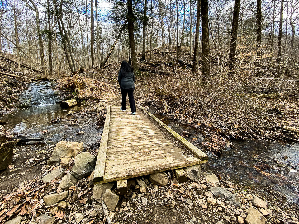
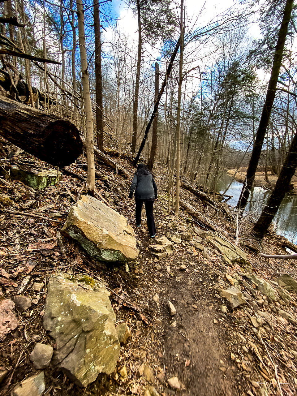
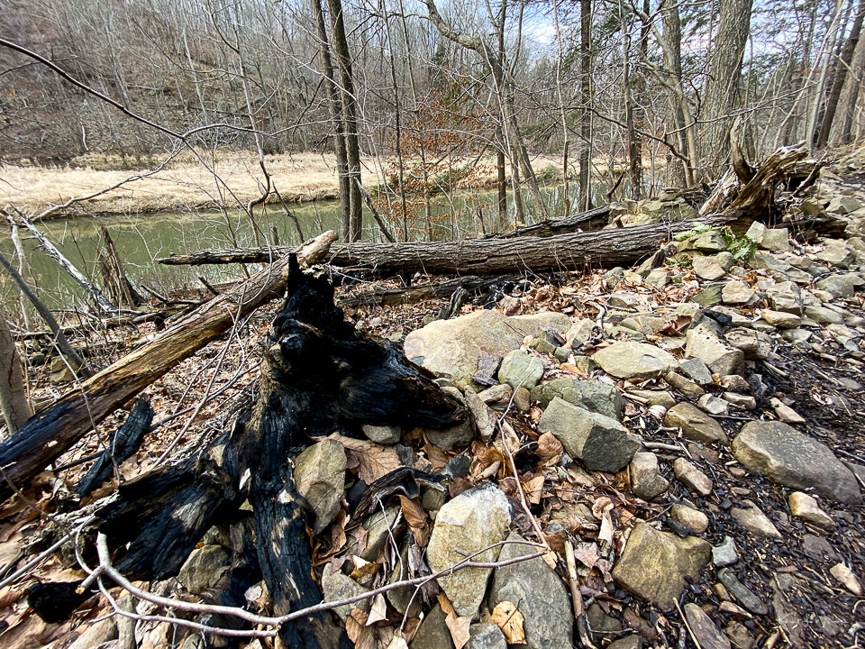
The trail was filled with small and large rounds, surrounded on both sides by a steep terrain. The lower terrain followed a rocky and soggy embankment down to the water.
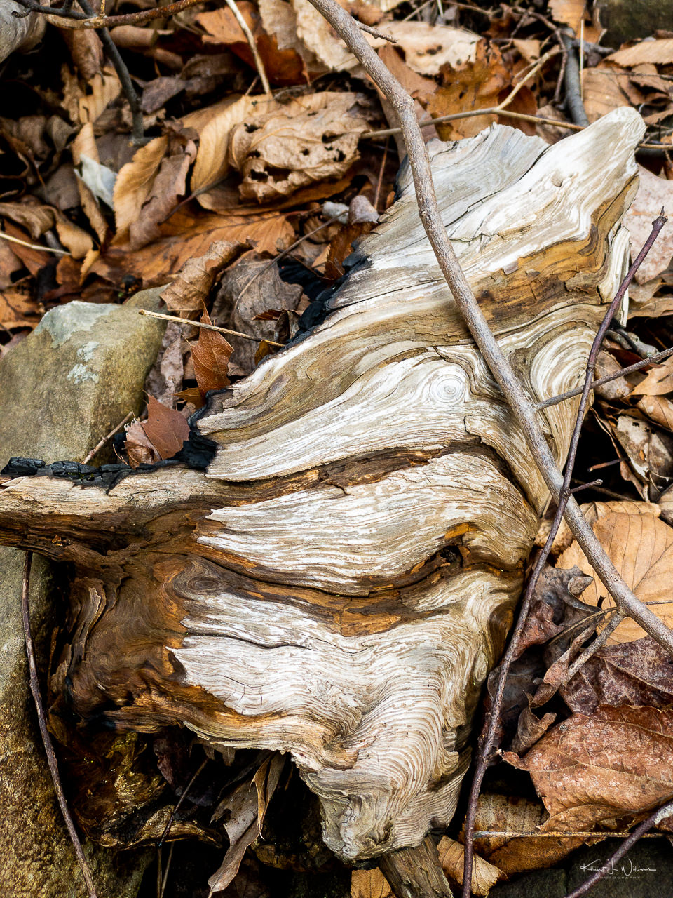
I saw many felled trees, large and small, many of which looked like they had perished in a forest fire.
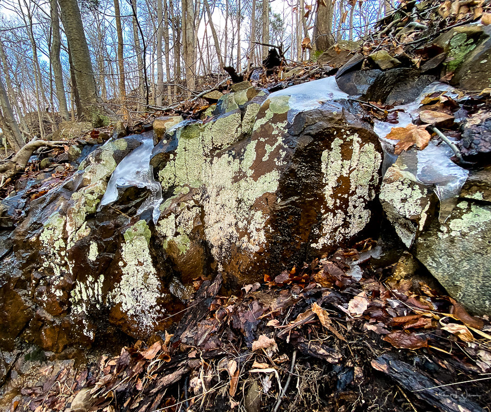
There were large green hues boulders above and below the trail some of which were still covered in snow.
As we approached the f,alls we met other people on the trail path who were hiking in the same direction. I was disappointed when I get to the waterfall.
First, the waterfall is man made and I found the fencing around the dammed area distracting. Second, there was no safe way to get a good angle for a photographically please point of view of the waterfall. I was also concerned about the number of people walking past me, jostling to stand above the water. Third, I had only my iPhone 11 Pro, which, though a good camera, I t,hink lacks the image quality I thing is necessary to capture the scene.
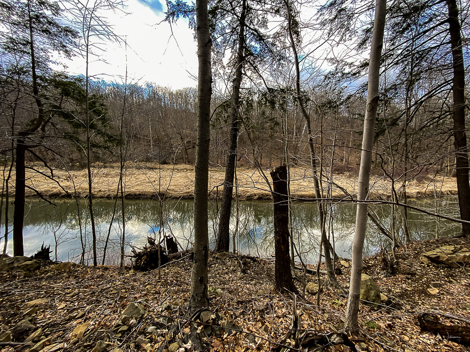
Bhavna and I moved further up the trail and found a less crowded area among the large boulders and trees to get a better view of the falls.
I wish I had my tripod with me. It was challenging to get long exposure shots while trying to steady the iPhone agains rocks and twigs.
The best part of the hike was the hike back to the car. Bhavna and I got to chat about our plans for adventures after the kids are back to college for the winter/spring semester.