📷
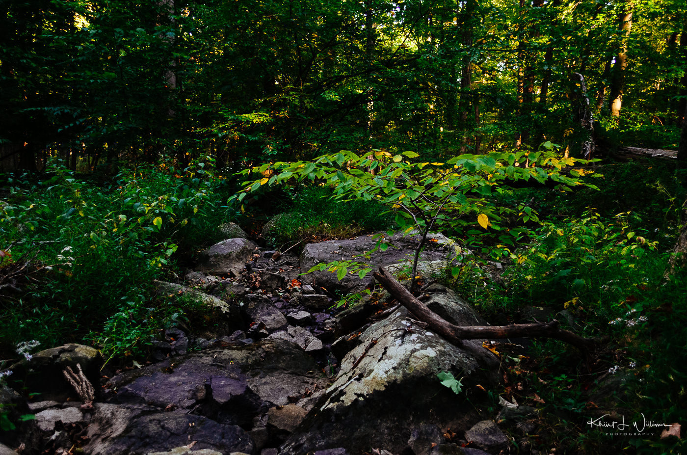
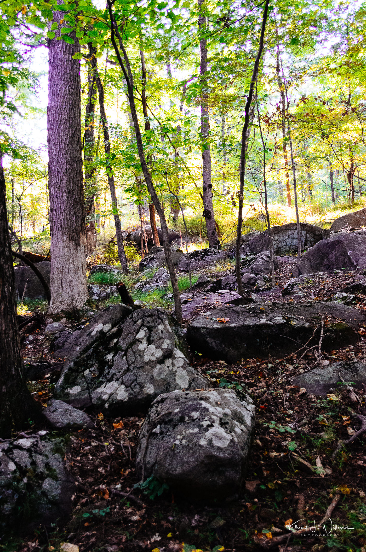
St. Michael's Farm Preserve Aunt Molly Trail
St. Michaels Preserve #AuntMollyRoad #BedenBrook #HopewellTownshipNJ #Project365
Island in the Net by Khürt Williams
Technology and Photography Musings. Established circa 2000.
St. Michaels Preserve #AuntMollyRoad #BedenBrook #HopewellTownshipNJ #Project365
📷
To fend off seasonal affective disorder (SAD) and get some fresh air, Bhavna and I decided that in 2019 we would find our way outside despite both hating the cold. We joined the REI co-op, bought some base layers and new jackets, hiking boots, etc. After three months of staying indoors drinking craft ales, I start to look and feel "round", especially in my mid-section.
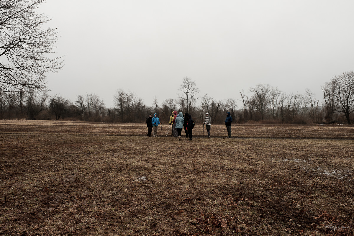
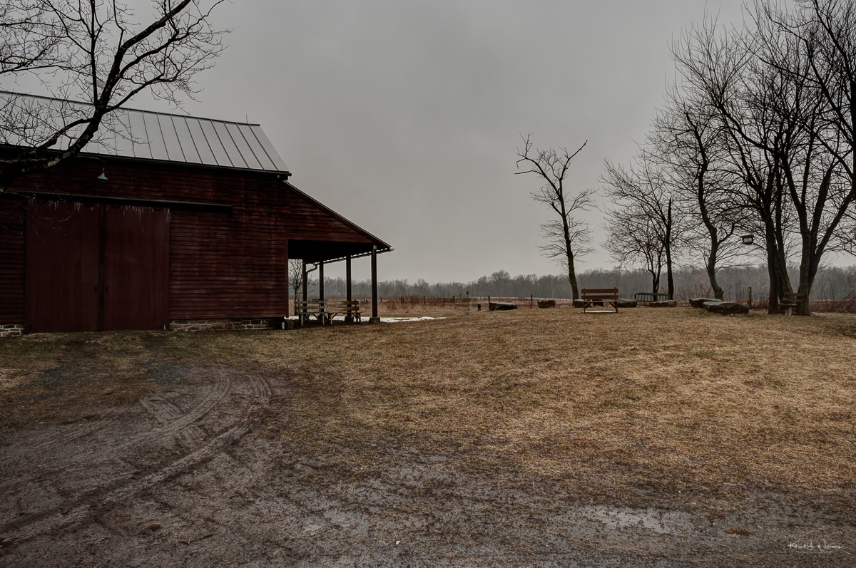
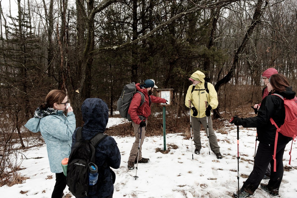
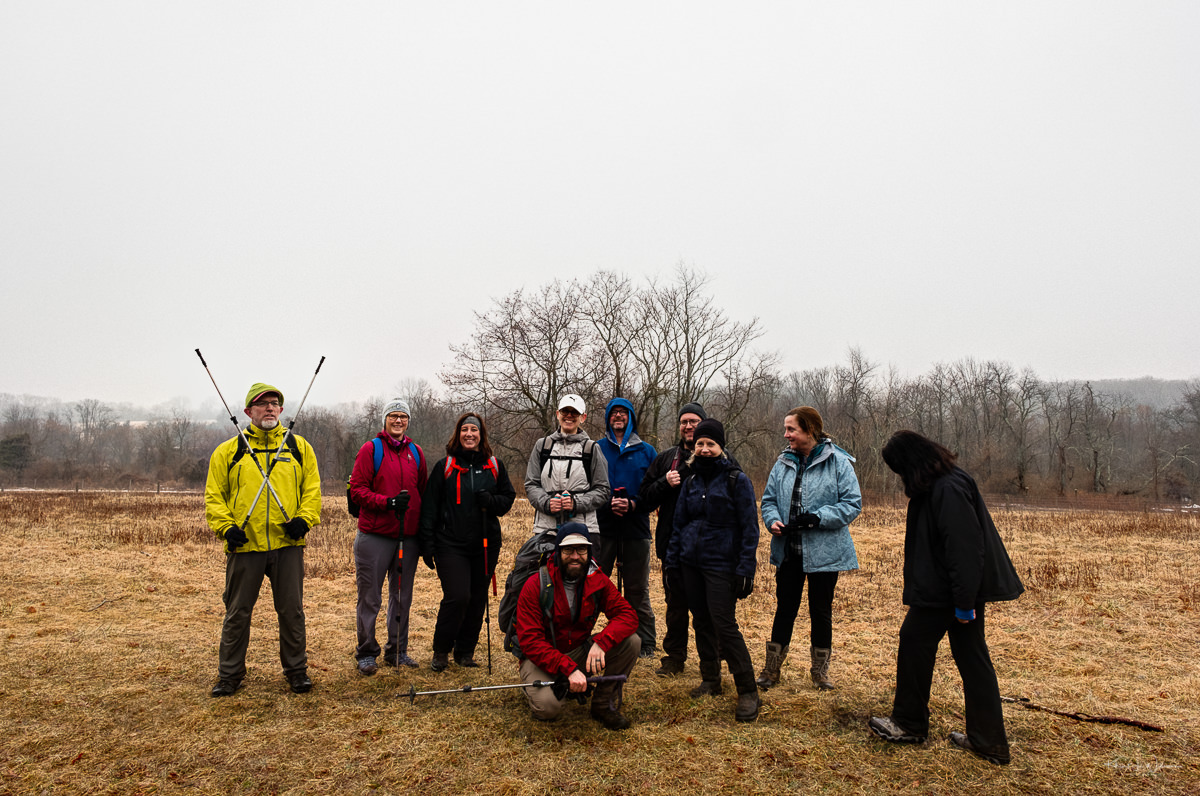
One of the perks of joining the REI Co-op is that we get access to hammocking, hiking, biking courses etc. This past weekend Bhavana and I signed up for a beginner's hike, the Hike and Hops at St. Michael's Farm Preserve. The Lawrenceville REI Co-op organised this hike. When we awoke that morning, Bhavna and I were sure REI would cancel the walk. It had rained the night before, and the warmer air temp was melting the snow. We expected the trail would be too wet to hike. It was too wet but not so much to cancel the hike. We layered up and drove to the trailhead on Princeton Avenue to find a group of about eight people waiting in the parking lot.

Some history on the property is provided by the D&R Greenway Land Trust.
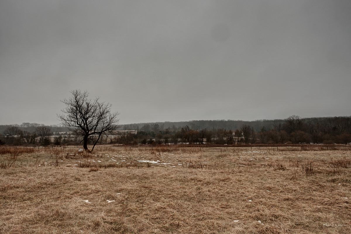
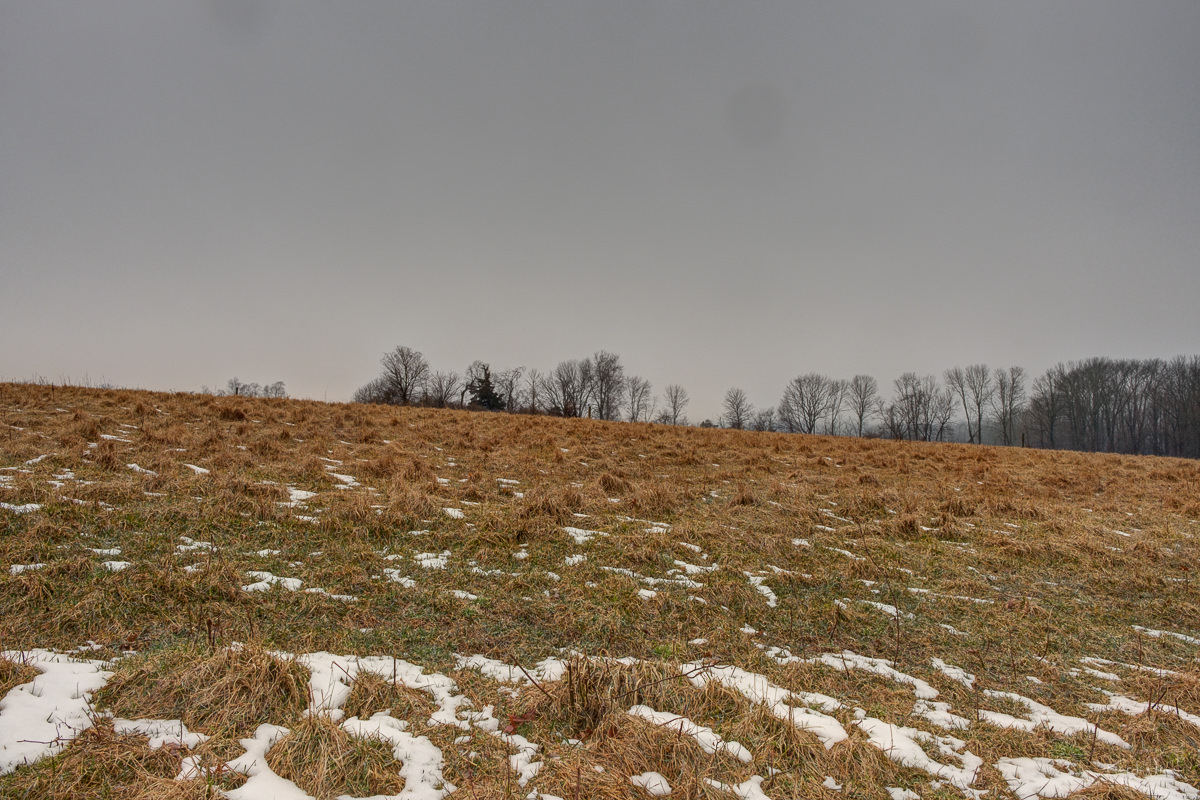
Now over 400 acres, the St. Michael's property, which was preserved in 2010 and expanded in 2017, is an expanse of farm fields and forests on the edge of Hopewell Borough. From many parts of this preserve, the visitor has long views, lending the preserve a wonderful expansiveness which promotes a sense of well-being in anyone who walks its many farm roads and paths. From 1896 until 1973 this was the home of St. Michael’s Orphanage and Industrial School which was operated by the Catholic Diocese of Trenton. After the orphanage was closed, the building where the children lived and went to school was torn down and most of the land was leased to a local farmer. Before the diocese divested themselves of the property through development they offered one last chance for preservation if D&R Greenway could raise the funds to purchase the property. Over $11 million was raised, and in 2010 D&R Greenway succeeded in purchasing the land through a public/private partnership. It is now preserved as open space forever. The largest amount of the $11M purchase price for this property came from the State farmland preservation program. Six miles of farm roads provide walking trails throughout the preserve.
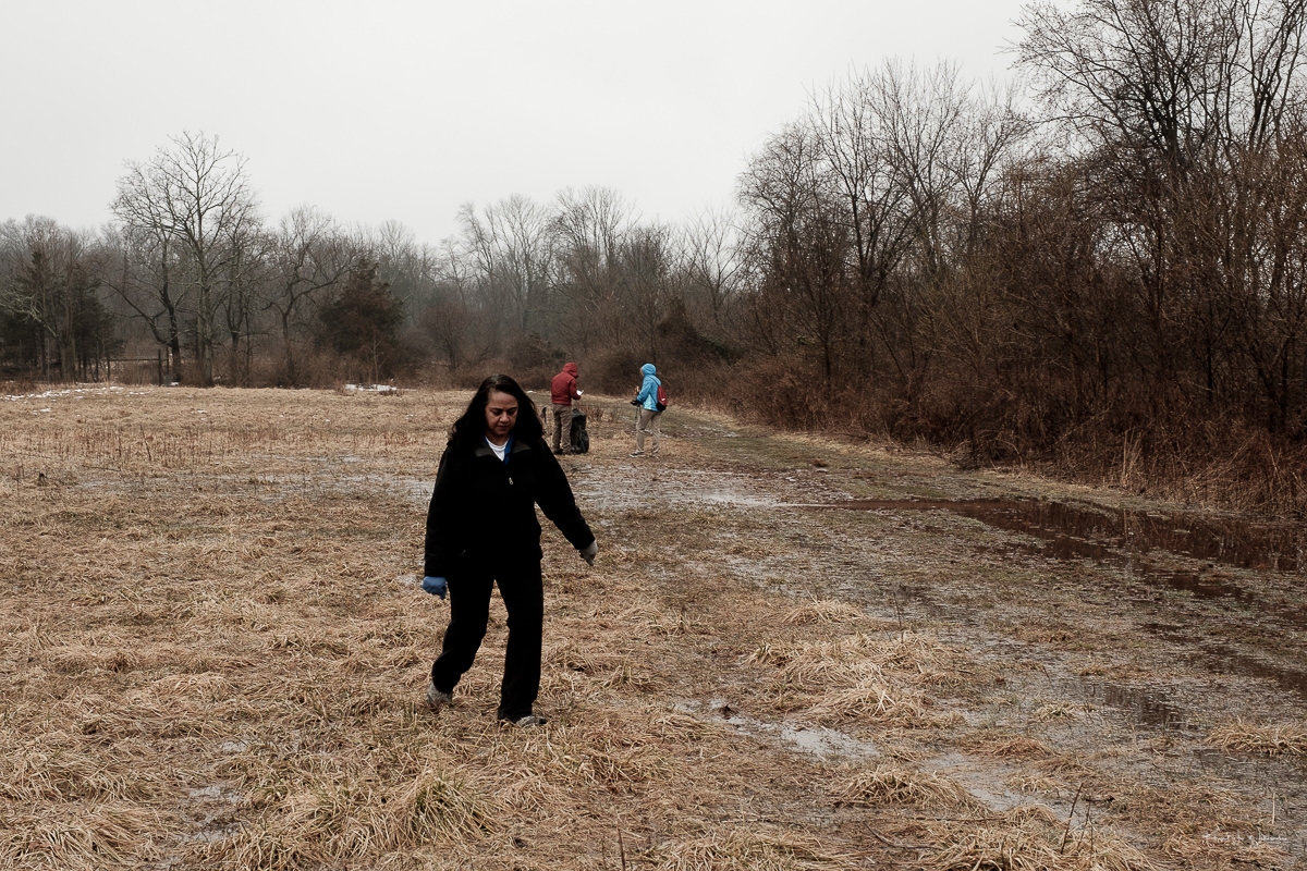
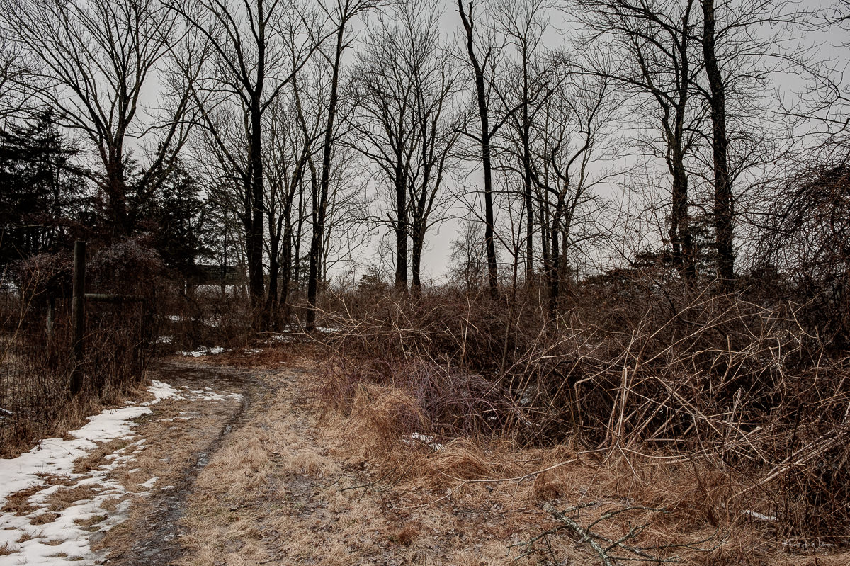
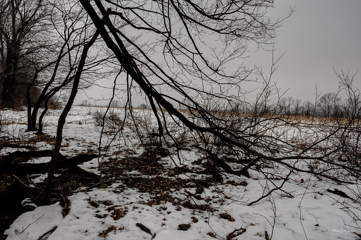
We met the trail guide Dan and his friend John. John lives in the area and is an educator in a local public school. Before proceeding along a soggy and muddy open field, Dan and John took turns giving an overview of the trail and history of St. Michael's Farm. We struggled to make our way back to more solid ground. Since I stopped for Bhavna to catch-up and take photos, we fell behind the rest of the group.
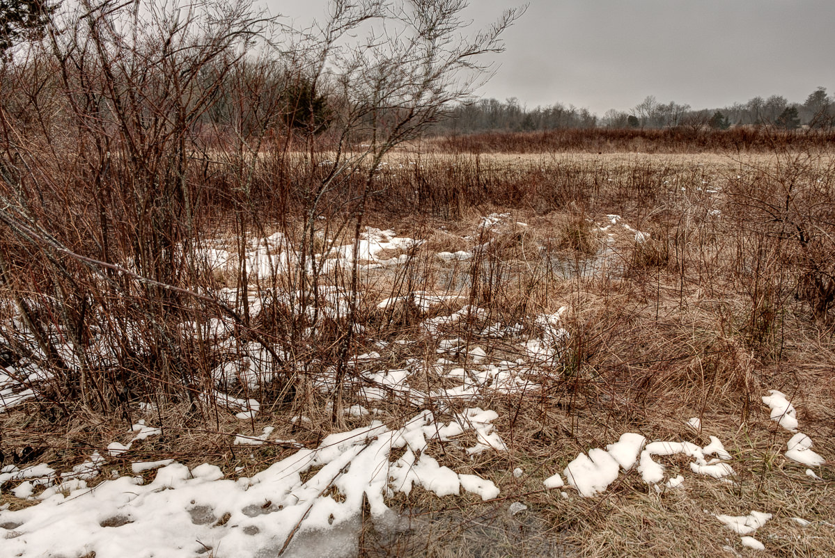
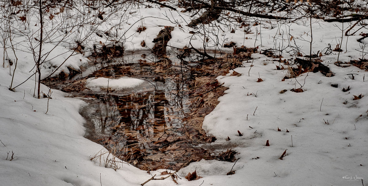
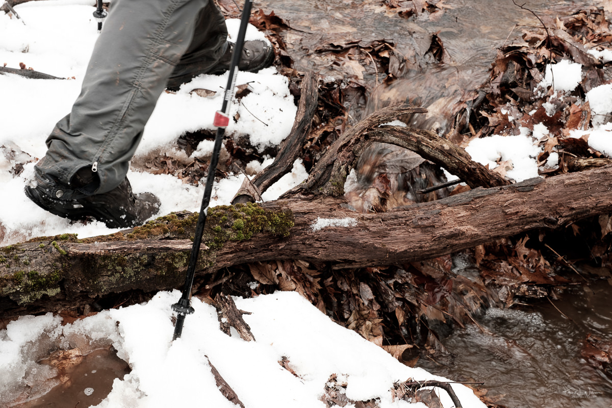
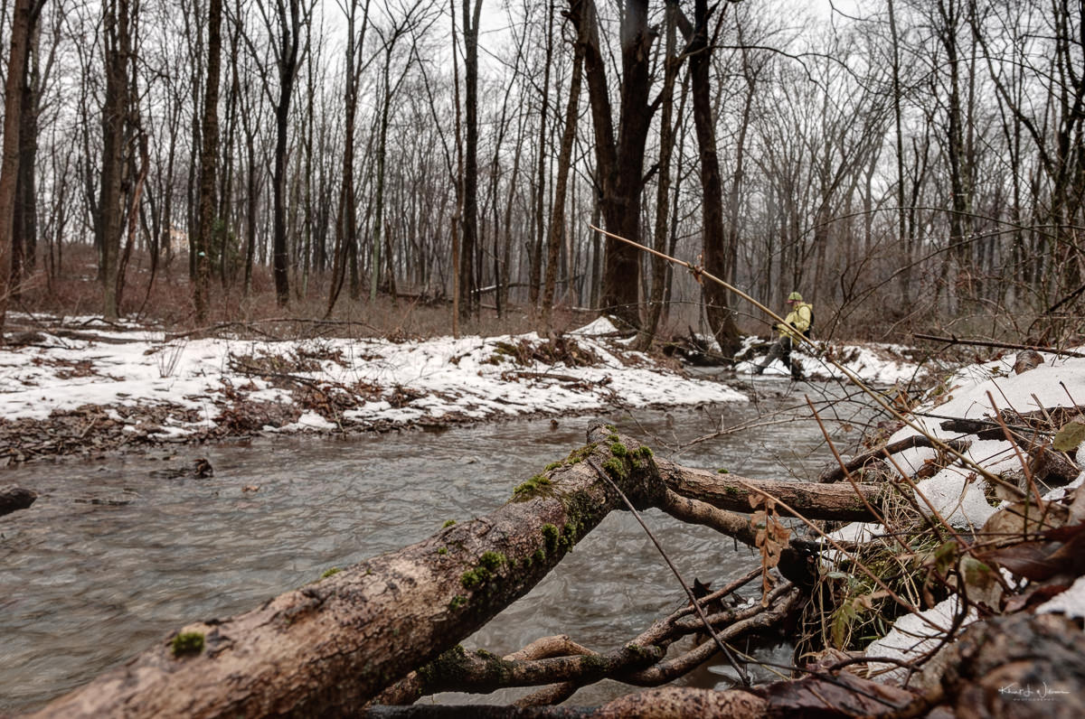
The trail was soggy; perhaps boggy is a better word. Our guide, Dan, had to choose alternative paths across some of the streams. On the trail, we ducked under fallen trees and scrambled over others. We forded streams with water just barely under the ankle of the shoe. Water entered Bhavna's shoes.
I'm working from home today. We both injured one out feet this weekend while on this beginner's hike. I think the issue is that we are both barefoot inside our house. We only wear shoes for work or to go hiking. For both of us, wearing shoes is an exercise in damage control. When I wear shoes outside on walks and hike along rugged terrain, my toes curl inside the shoe, trying to get a grip. This action stresses my toes. Is this the reason Westerners have such ugly feet? The feet are damaged from years of doing the opposite of what nature intended?
What made the trek worthwhile was the group's camaraderie during the hike and the post-hike Troon craft ale we drank together at the Brick Farm Tavern.


What is a stone?
It’s a unit of measure. The stone or stone weight is an English and imperial unit of mass now equal to 14 pounds (6.35029318 kg). My bodyweight (Earth) is approximately 11.4 stone.
Stone also refers to a solid aggregate of one or more minerals or mineraloids. Rocks are stones.
It may also refer — in the plural — to the assemblage of English musicians into a rock and roll band or the collection of pages and images into weekly periodically about music and popular culture. Was that a pun?
Stone silence on that question. Wait, that was a pun?
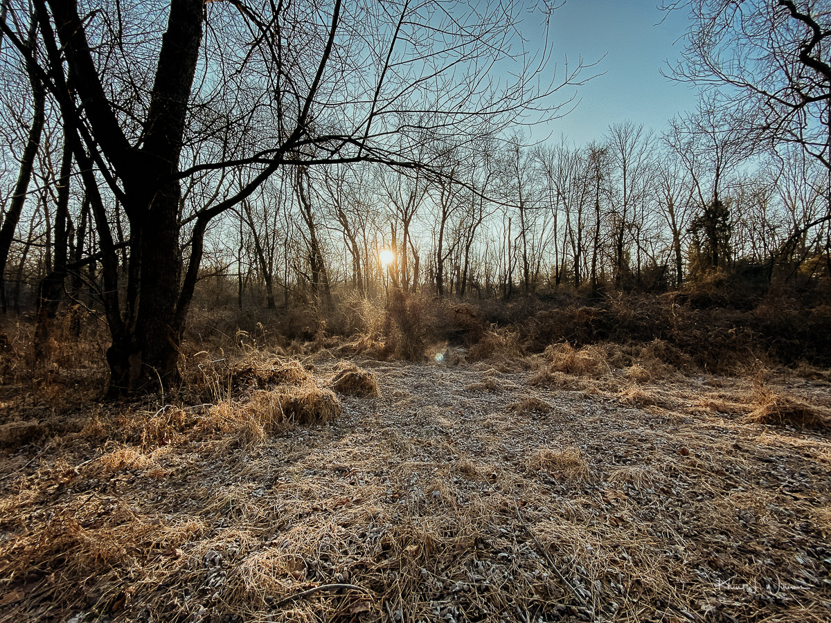
My town of Skillman in Montgomery Township lays at the base of the Sourland Mountain, a 27km long ridge extending from the Delaware River in Lambertville to the western end of Hillsborough Township, through Montgomery Township, and into Hopewell Township.
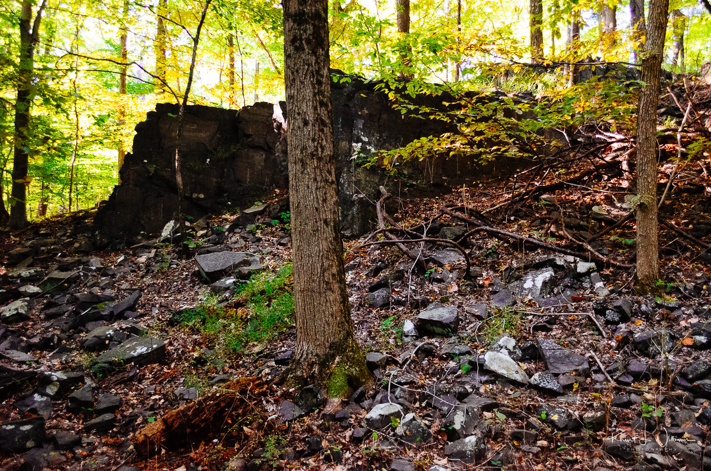
The Sourland Mountain and the area around it are full of hard igneous rock called diabase. The diabase is a highly erosion-resistant stone known as trap rock.
In the sixteen years that I have lived in Skillman, I have photographed many various sections of the Sourland Mountain, including my favourite spot, the Rock Brook. But there are other areas that I wanted to explore for this photo challenge.
NIKON D5100 24mm f/4 ISO-5600 1/250sec Khürt L. Williams
On private property along Rileyville Road in East Amwell Township, Hunterdon County, a series of three large rocks sit on top of another boulder large enough to hold them. Legend claims that many years ago three brothers decided to meet the Devil, overcome him and rid the area of his presence once and for all. But, as it turned out, they were no match for the Evil One who surprised them, turning them into stone on the spot where we still see them sitting today at Three Brothers Rock.
The European’s who settled the area shared a penchant for naming areas after the Devil himself, for example, the boulder fields called Devil’s Featherbed and a collection of huge boulders along the hiking trails in the Sourland Mountain Preserve called Devil’s Half Acre.
Bhavna’s was tired of attending the Bruno Mars concert last night. I was hoping she’ll join me in hiking the eight-kilometre (~ 5 miles) Ridge Trail from the trailhead at Eastern Mountain Road in Hillsborough Township, along Maple Flats and up the boardwalks into Montgomery Township toward Roaring Rocks, then continue along the Roaring Brook trail over the Texas Eastern Pipeline toward Devil’s Half Acre before heading back down to the trailhead.
Instead, I contacted my friend Prasanna, who was happy to get out on a hike with me. We hike hikes for just over two hours. We didn't stick to the planned route. We skipped the outbound trail to Devil's Half-Acre and instead returned to the trailhead via the pipeline. It was just a bit too warm and humid for us. We were sweaty and sticky.
NIKON D5100 24mm f/4 ISO-4000 1/250sec Khürt L. Williams
Created by photographer Frank Jansen, the Tuesday Photo Challenge is a weekly theme-based challenge for photographers of all kinds to share both new and old photography.