Scouting for barns, bridges and buildings in East Amwell and West Amwell Townships has been challenging. Many of the narrow country roads, the ones where the barns are located, are not mapped on Google Maps. I used Google Map's satellite view to find objects and bridges, but could not get addresses. It was impossible to use Google Street View to virtually scout many roads that looked like they might have farms with barns.
Earlier in the week while Bhavna and I went searching for a new trial, we drove around some very narrow country roads that we had not driven before. On some of the streets, we found barns that I thought were interesting. I took photos with my iPhone, so I could use the GPS data to find the barns later.
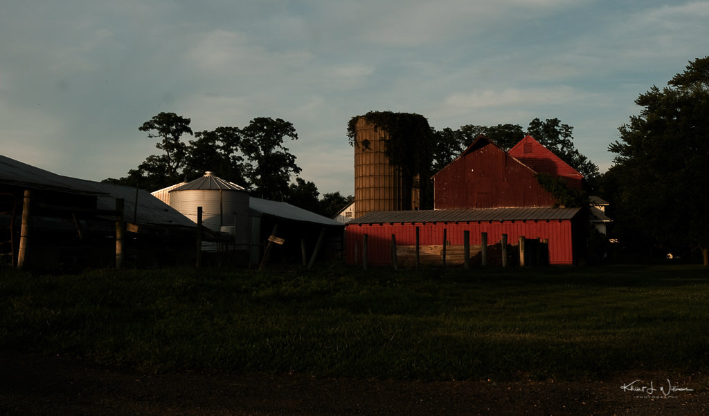
My goal was to photograph the barns near the golden hour. I thought the light would look good on the red of the bar.
The property at 9 Gulick Rd was challenging to photograph. Gulick Rd is very narrow. I parked almost in the ditch and quickly set up my tripod at the back of the CUV. I was not able to fit the whole scene into one frame. Well, I could have, but I would have had to trespass on the property on the other side of the road.
My position on the side of the road created problems for passing cars, so I quickly fired off a few frames and left for the next stop.
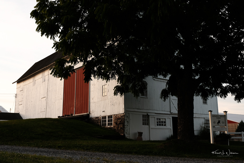
The Amwell Ridge Farm is on Google Maps, but the location on Google Maps does not map to the physical on Rocktown Road. Rocktown Road was even more narrow than Gulick Road. Bhavana yelled at me to get out of the road as a car approached.
Images are SOOC JPEGs captured with Luis Costa's Colour film simulation recipe for X-trans III. This has become my default recipe for colour images of people and things.
Submitted as part of the 100DaysToOffload project.